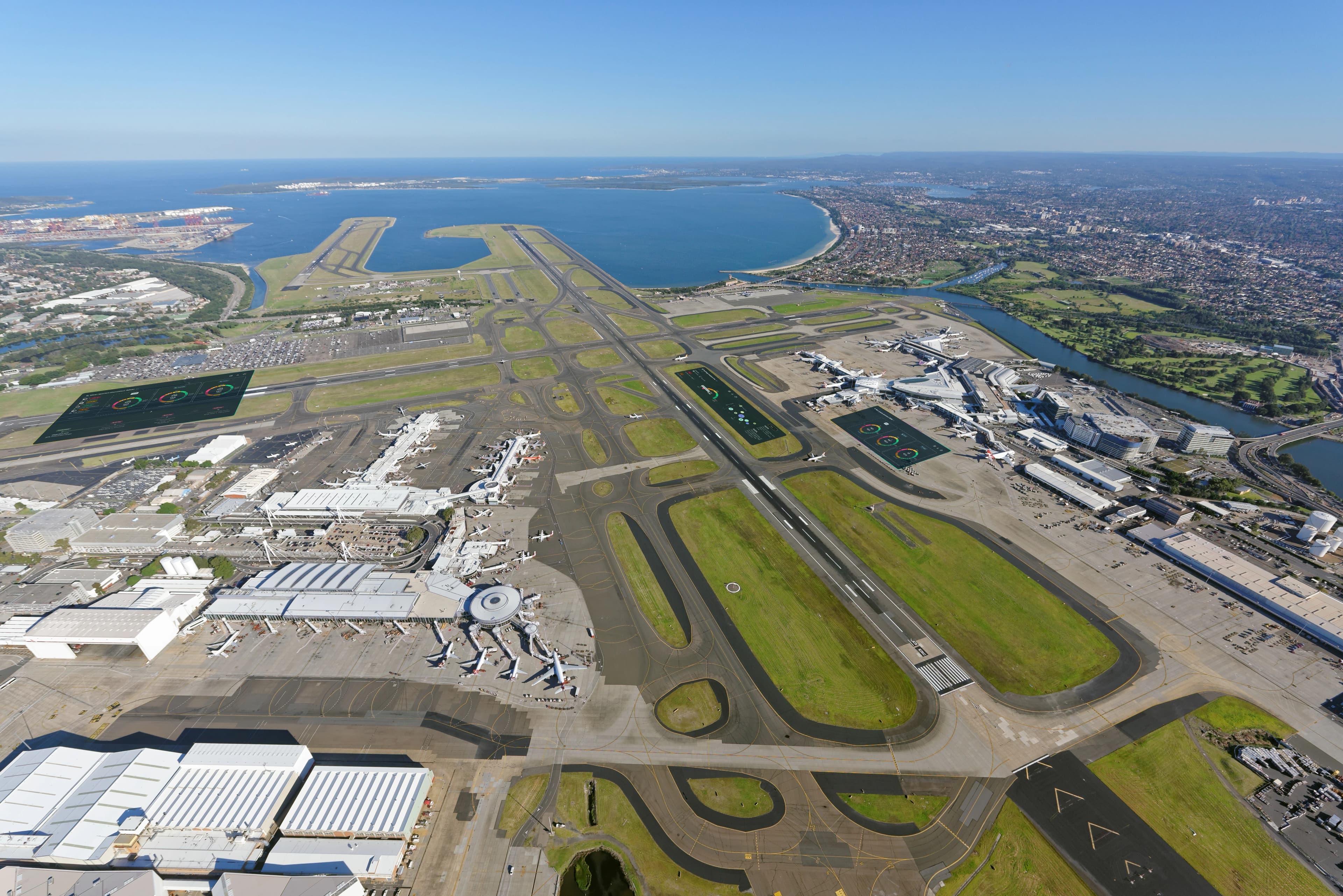
Mapping risks and biodiversity of 5 Italian airports from satellite
Satellite assessment and environmental monitoring with PollyX sensors across 5 Italian airports: land cover, biodiversity indices, air quality, hydrogeological risk and microclimatic analysis to quantify environmental impacts and dependencies of airport infrastructure.
monitored
analysed
installed
Airport grounds: heat islands, land consumption and climate risks
Airports occupy grounds spanning hundreds or thousands of hectares, with direct impacts on local biodiversity: land consumption and soil sealing, habitat fragmentation, light and noise pollution, and heat islands amplified by paved surfaces. At the same time, airport operations depend on ecosystem services such as water regulation, soil stability and flood risk management. Without a quantitative assessment, impacts and dependencies remain invisible in airport environmental planning.
Quantifying the ecological status and environmental risks of airport grounds
A large-scale satellite assessment was needed to map biodiversity, land cover and climate risks across 5 airports in a standardised way.
Continuous data on air quality within the grounds to measure the impact of airport operations on the surrounding environment.
Satellite assessment and 5 PollyX sensors across 3,800 hectares
XNatura responded with a multi-site satellite assessment integrated with IoT sensors for continuous environmental monitoring, producing standardised and comparable data for each airport.
From satellite to environmental management of airports
A project integrating satellite mapping and PollyX sensors for continuous environmental monitoring, transforming remote sensing and IoT data into scientific evidence for airport environmental management.
Land cover analysis and biodiversity indices
Satellite image analysis mapped the 3,800 hectares of the 5 airport grounds, producing for each site the land cover baseline, MSA Land Use index, proximity to protected areas and Key Biodiversity Areas in the surrounding area. The average MSA Land Use across the 5 airports stands at 10.5, reflecting the high degree of soil sealing.
One sensor per airport: real-time air quality and microclimate
A PollyX sensor was installed at each of the 5 airports for continuous monitoring of air quality and microclimatic parameters: temperature, humidity, atmospheric pressure and particulate concentration. Data is transmitted in real time to the XNatura platform, integrating satellite information with point measurements from the field.
Hydrogeological risk, drought and heat islands at each airport
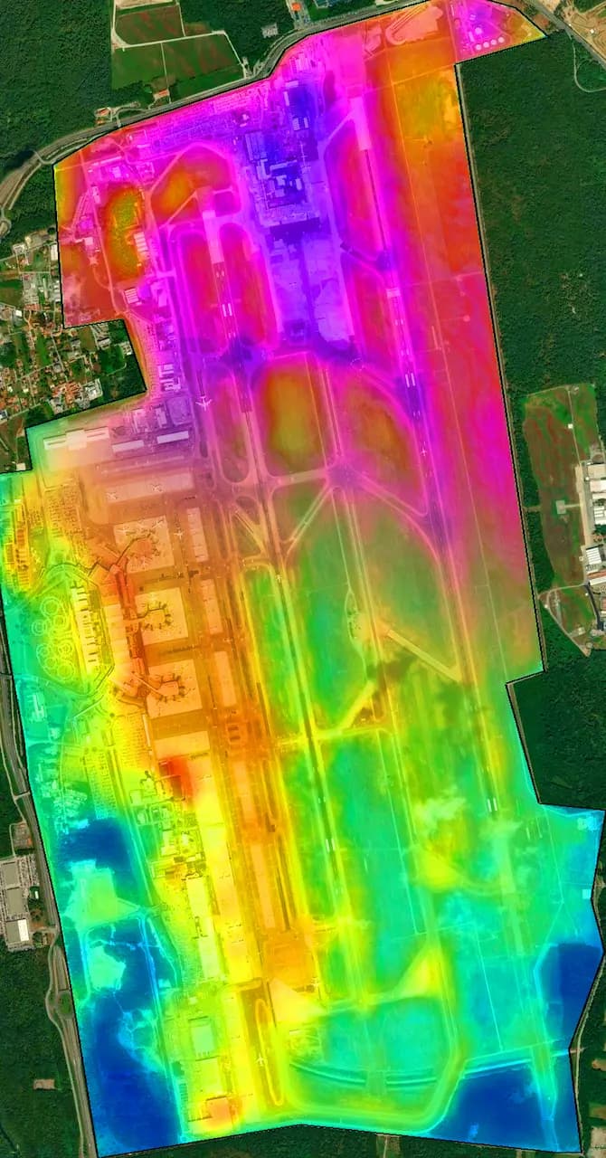
For each airport, hydrogeological and flood risk, drought risk, surface temperature and urban heat island intensity were calculated, integrating satellite data with continuous PollyX sensor readings. The analysis recorded surface temperature differences of up to +6.8 °C compared to surrounding rural areas.
Comparison across 5 airports and identification of intervention priorities
Data from the 5 airports was normalised and made comparable in the XNatura platform, enabling the operator to identify sites requiring the most urgent intervention. The reporting produced provides evidence that can be integrated into ESG frameworks, ESRS E4 reporting and airport climate adaptation strategies.
From baseline to multi-year time series
Data flows into the XNatura Environmental Platform, where the airport operator monitors the evolution of environmental indicators year after year. The goal is to build a time series documenting changes in land cover and climate risks, providing a scientific basis for planning mitigation and adaptation interventions.
What emerges from the 5 airport grounds
micrograms/m³
micrograms/m³
delta vs surroundings
Land Use
The 5 PollyX sensors recorded an average PM2.5 concentration of 19.4 micrograms/m³ and PM10 of 28.6 micrograms/m³ in the airport grounds, values exceeding WHO recommended thresholds (5 micrograms/m³ annual for PM2.5 and 15 micrograms/m³ for PM10) and indicative of the impact of airport operations on local air quality.
The average MSA Land Use index across the 5 airports stands at 10.5, reflecting the high degree of soil sealing in airport grounds. Surface temperature analysis recorded a maximum delta of +6.8 °C between paved airport surfaces and surrounding rural areas, confirming the heat island effect typical of large infrastructures.
Monitoring in action
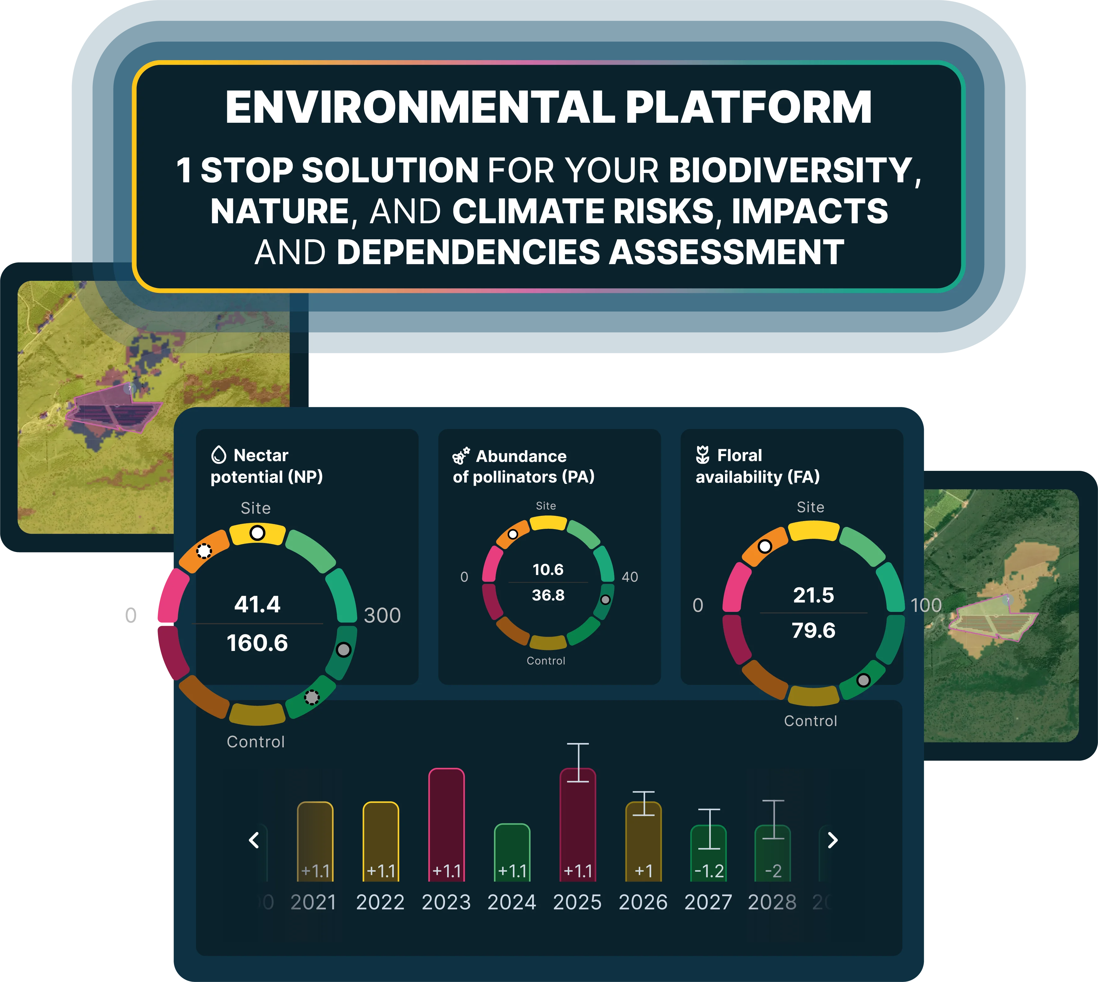
Key sections of the XNatura Environmental Platform dedicated to the assessment of airport grounds.
Biodiversity status
MSA Land Use indices, land cover, proximity to protected areas, Key Biodiversity Areas and Natural Patches in the surroundings of the 5 airports.
Microclimate
Surface temperature, urban heat island and light pollution of airport grounds and surrounding areas.
Drought risk
Aridity indices, vegetation water stress and drought impact on green areas within airport grounds.
Hydrogeological risk
Flood risk, erosion and hydrogeological analysis of the 5 grounds for assessing the resilience of airport infrastructure.
Access the XNatura Environmental Platform
The platform with which the airport operator monitors the ecological status and environmental risks of the 5 Italian airport grounds.
Do you want to map risks and biodiversity of your infrastructure?
XNatura supports airport operators, infrastructure managers and regulators in the assessment and environmental monitoring of their assets, with satellite mapping, climate risk analysis and validated scientific protocols, producing data integrable into ESG and reporting frameworks.
 Contact us for information about the platform or for specialized consulting in the environmental field.