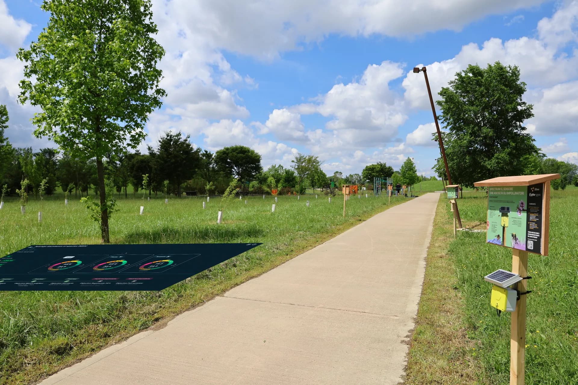
Regenerating the motorway, educating the territory
Remote sensing monitoring of the entire CAV motorway network and the 7.9-hectare Ivana Cagnin public park, with 27 IoT sensors, 20 pollinator shelters and an outreach programme to turn the infrastructure into a model of regeneration and local community engagement.
monitored
installed
shelters
Motorway infrastructure fragments the territory
Motorway networks fragment habitats, seal soil, generate noise and air pollution, with direct impacts on wildlife, pollinators and ecosystem connectivity. Infrastructure stability depends on the territory's water regulation, the health of vegetation in adjacent areas and cohesion with the local communities they cross.
Demonstrate the infrastructure's environmental commitment to the territory
CAV needed scientific data on the state of biodiversity along its motorway network and a concrete ecological regeneration intervention to demonstrate the infrastructure's environmental commitment.
A community engagement programme was also required to involve the local community and build social acceptance through environmental outreach.
The Biodiversity Oasis with 27 IoT sensors and 20 shelters
XNatura responded with the Biodiversity Oasis across 7.9 hectares: regeneration with nectar-producing plants and shelters, 27 IoT sensors, satellite mapping of the motorway network and an outreach pathway for the territory.
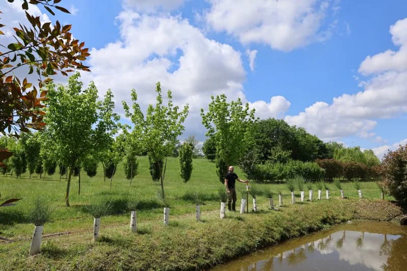
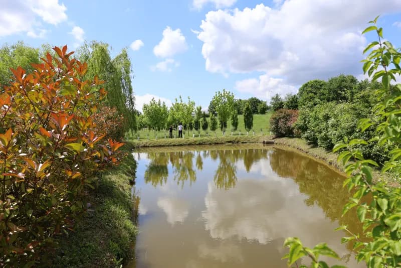
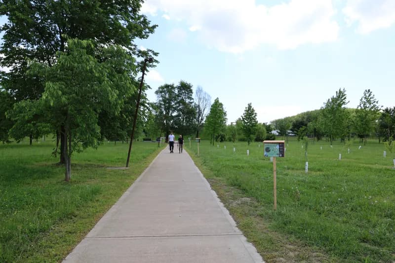
From motorway to Biodiversity Oasis
A project integrating satellite analysis of the motorway network, IoT sensors, habitat regeneration and local community engagement.
Ecological assessment of the motorway network
Satellite analysis mapped the CAV motorway network and control areas, producing the baseline of biodiversity indices including MSA, nectar potential, land cover, climate risks and hydrogeological risk. The screening identified 6 protected areas within 10 km of the site.
Biodiversity Oasis and outreach pathway
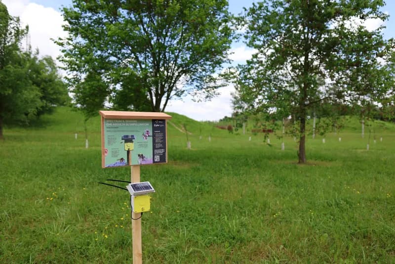
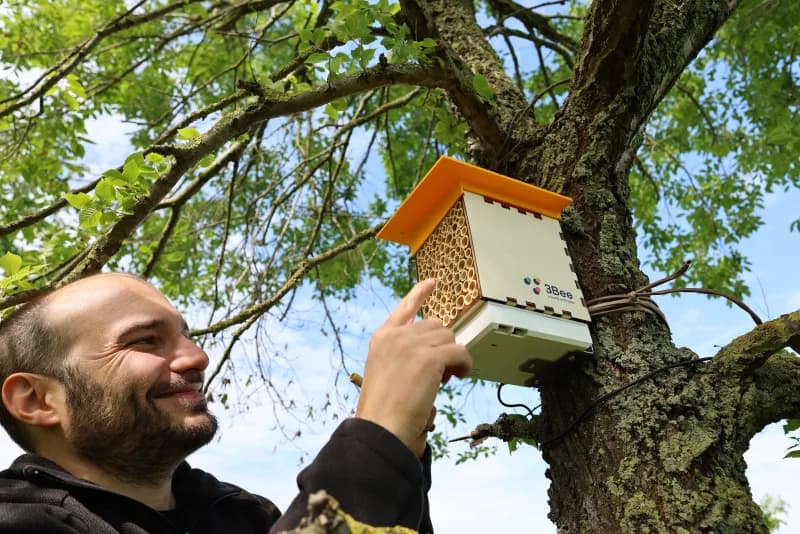
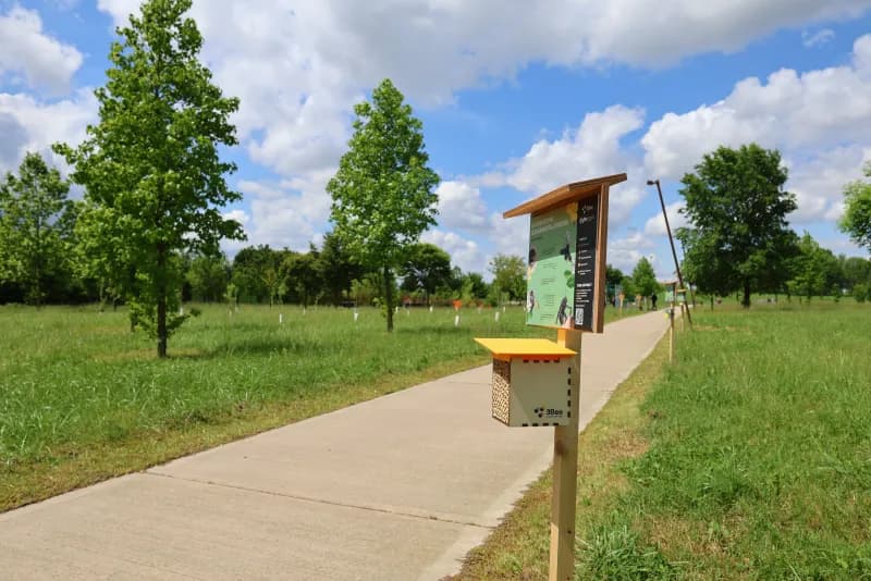
A public park in Veneto was transformed into a Biodiversity Oasis with native nectar-producing plantings and 20 pollinator shelters. The area was enriched with IoT sensors, an apiary and educational signage, to engage the local community.
27 IoT sensors in the Oasis
27 IoT sensors were installed in the Oasis: 5 Hive-Tech on biomonitoring hives, 20 PollyX for capillary air quality monitoring and 2 Spectrum for continuous bioacoustic census of wild pollinators.
Regeneration impact versus the territory
Satellite data and IoT sensor data were integrated to produce the complete biodiversity picture of the Oasis. The site-control comparison quantified the MSA Land Use delta, measuring the effectiveness of regeneration against the territorial context.
From the first Oasis to a replicable motorway model
Data flows into the XNatura Environmental Platform, where CAV monitors the biodiversity evolution of the Oasis and the entire network. The goal is to build a historical series documenting regeneration over time and replicate the Oasis and community engagement model along the infrastructure.
Data from the CAV Oasis
site-control
identified
10 km of the site
at the site
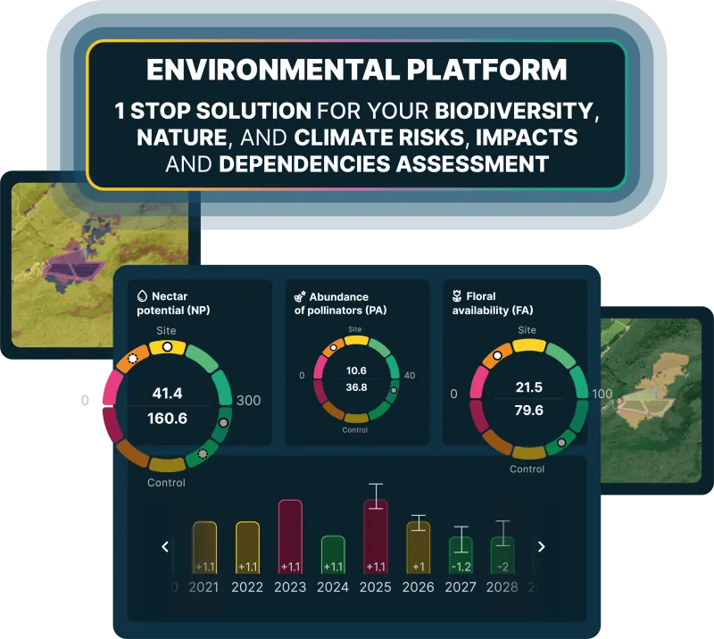
The site-control comparison shows a delta of +22 on the MSA Land Use index: the site reaches 40.7 versus 18.5 for the control area. This demonstrates that the Oasis regeneration has generated significantly better ecological conditions than the surrounding territory. MSA analysis indicates that the entire 7.9-hectare area is impacted, defining the baseline against which to measure regeneration effectiveness over time.
The Spectrum identified 16 distinct pollinator clusters. The presence of 6 protected areas within 10 km confirms the Oasis's potential as an ecological connectivity node. MSA analysis indicates that the entire 7.9-hectare area is impacted, defining the baseline against which to measure regeneration effectiveness over time.
Monitoring in action
Key sections of the XNatura Environmental Platform dedicated to CAV.
State of biodiversity
MSA indices, Natural Patches, nectar potential and site-control comparison across the 7.9 hectares of the CAV Oasis.
Microclimate
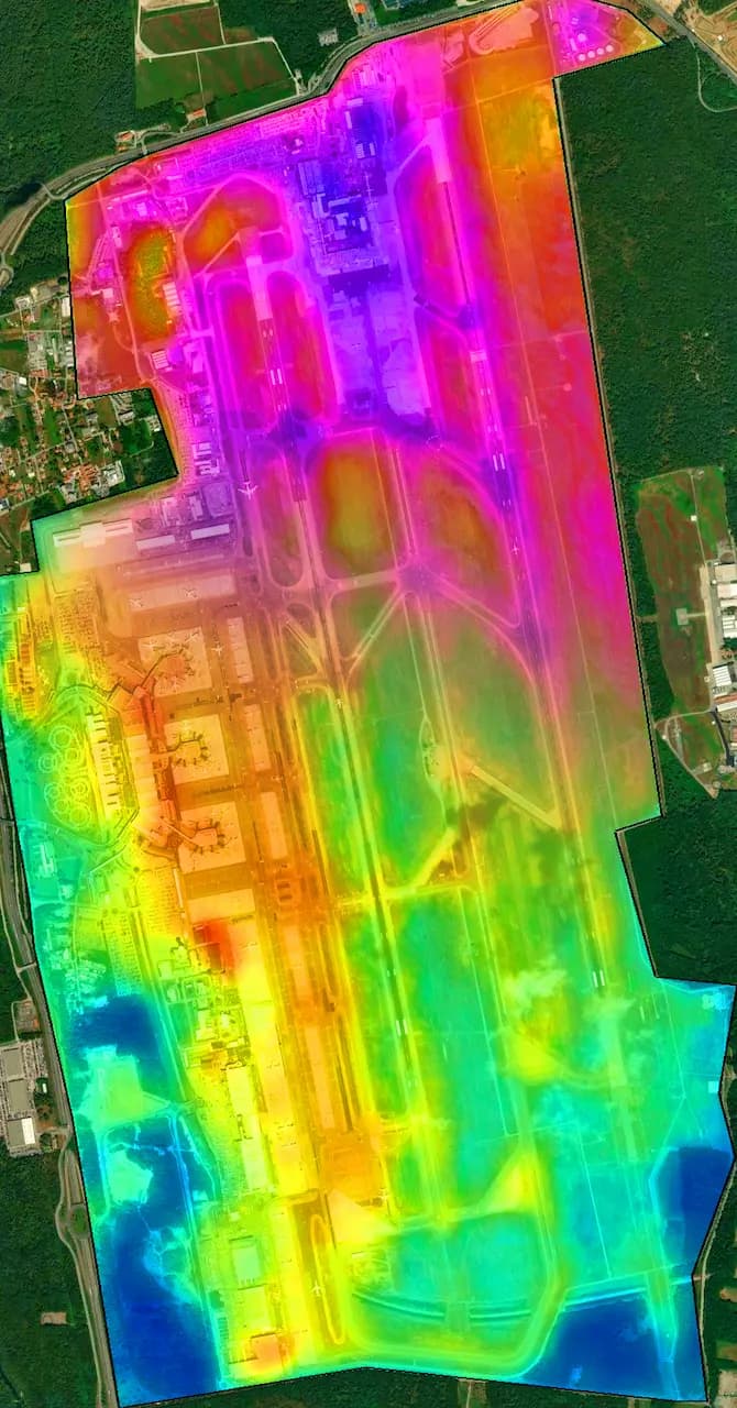
Ground temperature, heat islands and microclimatic variations in the Oasis area and along the motorway network.
PollyX
PM2.5 and PM10 concentrations detected by the 20 PollyX sensors distributed across the Oasis, with time trends and spatial maps.
Hive-Tech
Data from the 5 sensorized hives: weight, colony activity and biological indicators of the Oasis's environmental quality.
Access the XNatura Environmental Platform
The platform with which CAV monitors the biodiversity of the Oasis and the motorway network, with data from 27 IoT sensors and site-control comparison over time.
Do you want to measure biodiversity at your infrastructure?
XNatura supports motorway operators, concessionaires and infrastructure managers in biodiversity monitoring with IoT sensors, satellite mapping, site-control comparison and validated scientific protocols.
 Contact us for information about the platform or for specialized consulting in the environmental field.