
IoT camera traps in underpasses to measure the effectiveness of ecological corridors
Automated wildlife monitoring in highway underpasses with IoT cameras to document which species use ecological corridors and assess their effectiveness as infrastructure for ecological connectivity.
monitored
installed
monitored
Linear infrastructure: ecological barriers that fragment habitats
Linear infrastructure such as highways fragments natural habitats, disrupts wildlife dispersal corridors and increases mortality from roadkill. Isolated animal populations lose genetic variability, reducing species resilience in the long term. Wildlife underpasses are designed to restore ecological connectivity, but their effectiveness depends on factors such as location, size, substrate and human disturbance, and can only be assessed through systematic monitoring of transiting species.
Verifying whether wildlife actually uses highway underpasses
Scientific evidence was needed on the actual use of ecological corridors by wildlife.
A continuous and non-invasive monitoring system to document species, crossing frequency and movement patterns in the underpasses.
13 IoT cameras in 6 underpasses across 14 monitored hectares
XNatura responded with a system of IoT camera traps installed in wildlife underpasses to document the use of ecological corridors in a continuous, non-invasive and automated manner.
From installation to automated census
A project combining IoT cameras, artificial intelligence for species classification and satellite mapping to assess the effectiveness of highway ecological corridors.
13 IoT cameras positioned in wildlife underpasses
The 13 IoT camera traps were installed inside the 6 highway underpasses designed for wildlife passage. The cameras operate 24/7 with infrared sensors for night detection and automatic data transmission to the platform. Positioning was calibrated to maximise the field of view and minimise false triggers.
Species identification and transit pattern analysis
The collected images are analysed to identify transiting species, crossing frequency and temporal usage patterns of the corridors. The census documented 1,128 individuals belonging to 44 species, providing scientific evidence on the effectiveness of underpasses as ecological connectivity infrastructure.
From data to adaptive management of ecological corridors
Data flows into the XNatura Environmental Platform, where the highway operator monitors the evolution of corridor usage season after season. The goal is to build a historical series documenting underpass effectiveness over time and provide a scientific basis for optimising the design of new ecological corridors along the infrastructure.
What crosses the ecological corridors
monitored
identified
out of 44 total
invasive species
All reported data excludes human sightings. The census documented 1,128 individuals belonging to 44 distinct species across the 6 monitored underpasses, confirming that ecological corridors are effectively used by wildlife to cross the highway infrastructure.
Of the 44 species identified, 40 are native. Of the 1,128 individuals recorded, 76.2% belong to invasive species, a significant finding for understanding the pressure of alien species on ecological corridors and guiding management strategies along the infrastructure.
Monitoring in action
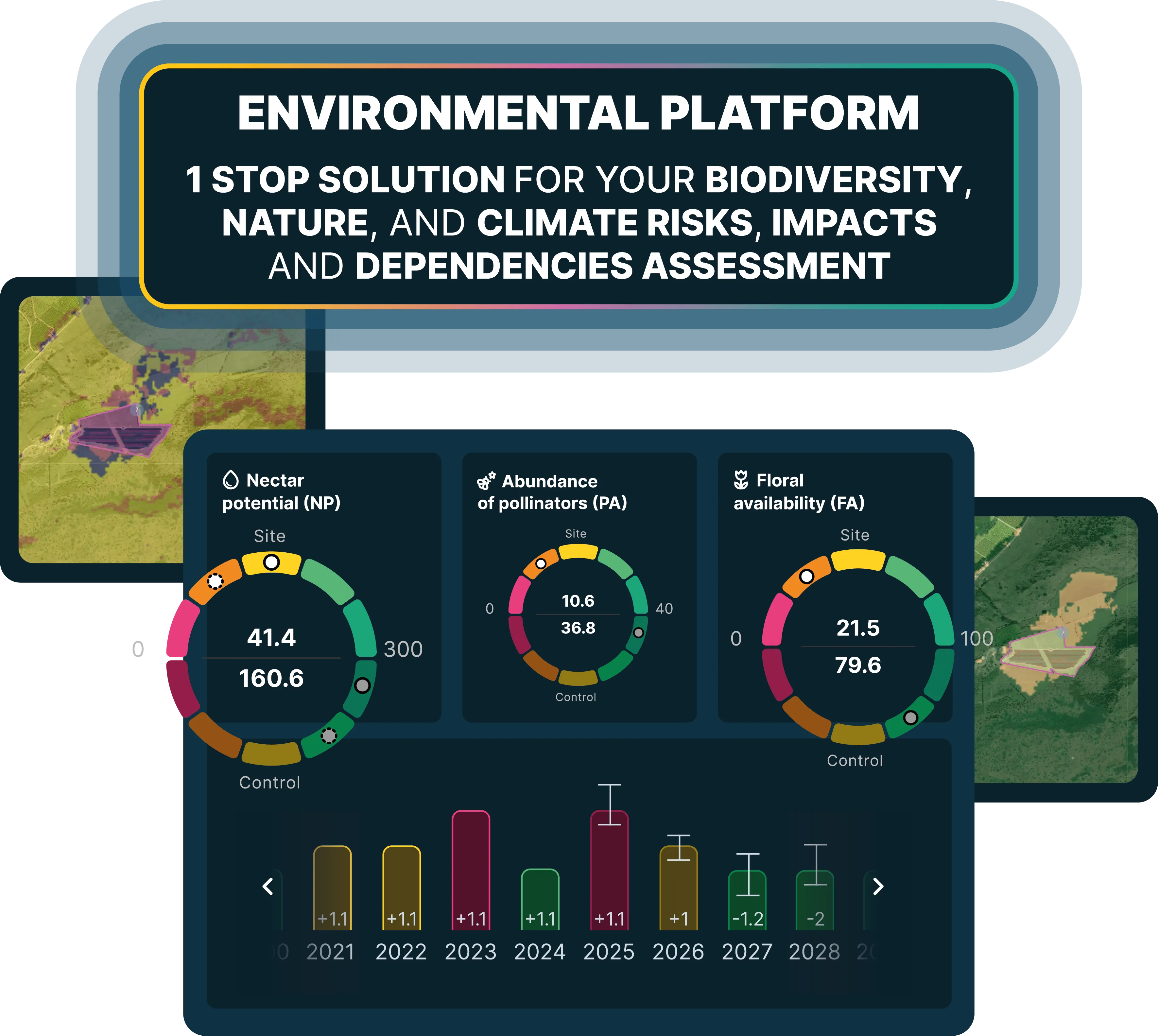
Key sections of the XNatura Environmental Platform dedicated to monitoring highway ecological corridors.
Survey & Census
Automated census of wildlife transiting through underpasses: individuals detected, species identified, crossing frequency and day/night temporal patterns.
State of biodiversity
MSA indices, land cover, Natural Patches and ecological status of the corridor area and surrounding territorial context.
Microclimate
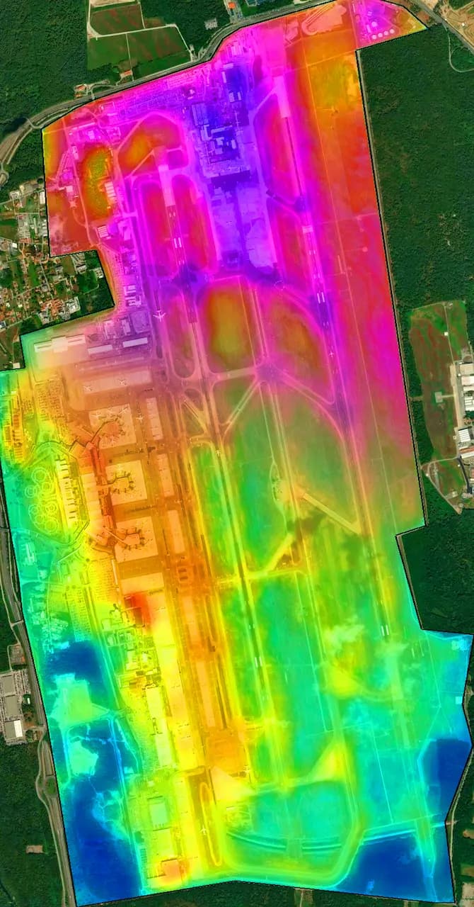
Surface temperature, heat island, light pollution and microclimatic parameters of the highway area and ecological corridors.
Hydrogeological risk
Flood risk, erosion and hydrogeological analysis of the highway area for assessing infrastructure and corridor resilience.
Access the XNatura Environmental Platform
The platform with which the highway operator monitors the effectiveness of ecological corridors and wildlife transiting through underpasses.
Do you want to monitor the ecological corridors of your infrastructure?
XNatura supports infrastructure operators, public authorities and protected areas in wildlife monitoring and ecological corridor effectiveness assessment, with IoT camera traps, satellite mapping and validated scientific protocols, producing data integrable into ESG and reporting frameworks.
 Contact us for information about the platform or for specialized consulting in the environmental field.