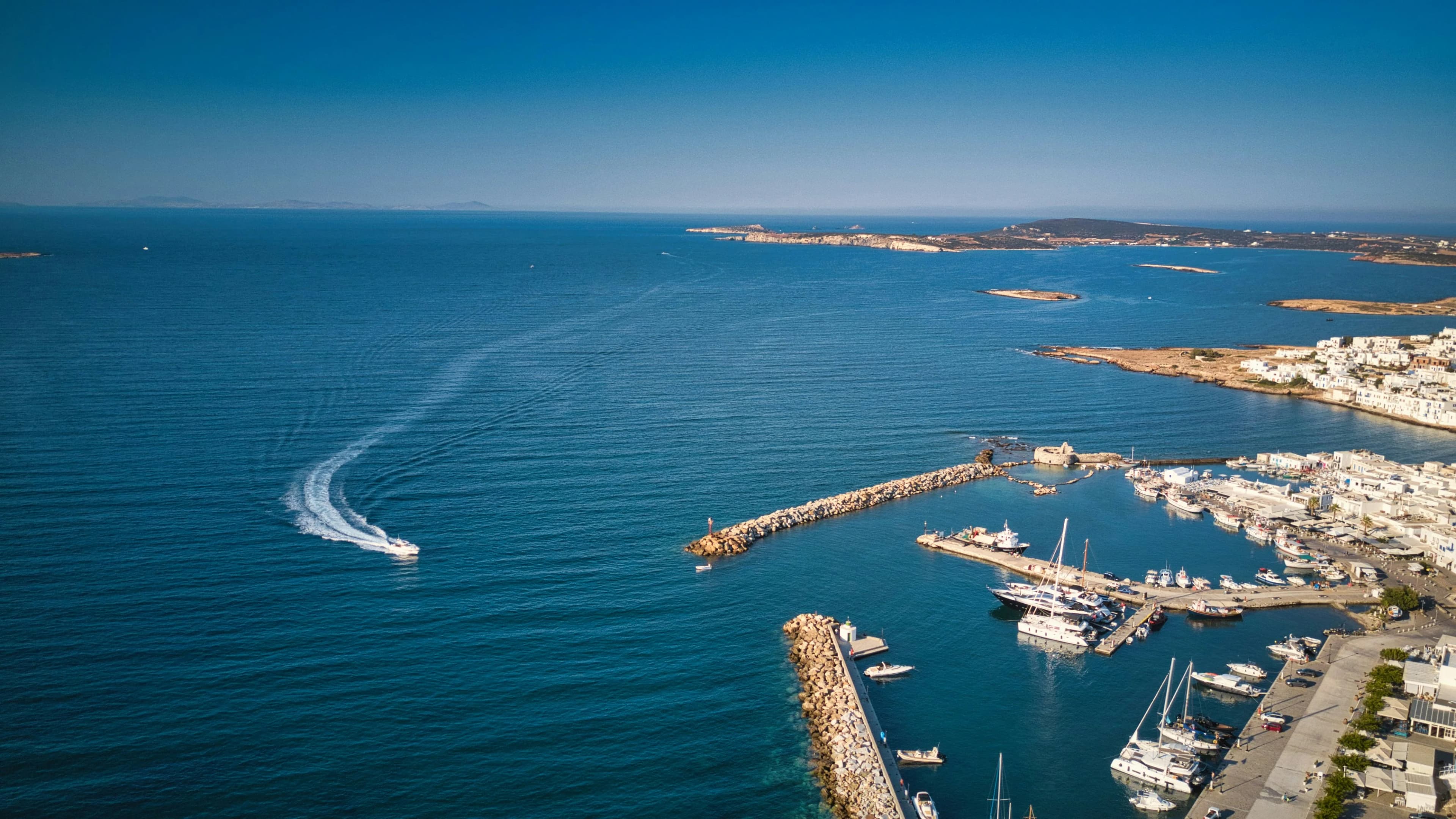
Assessment and action plan to position a port as a biodiversity champion
A Balearic port adopts remote assessment and strategic action plan to become a maritime sector benchmark for terrestrial biodiversity, with a strategy spanning impact reduction to regeneration of a fire-affected protected area.
monitored
action plan
Mediterranean ports: high-impact infrastructure in sensitive ecological settings
Port infrastructure seals coastal soil, generates heat islands, produces light and noise pollution, and fragments littoral habitats. In the Balearic Islands, ports operate just a few kilometres from protected areas and habitats of community interest, creating tension between economic activity and conservation. Port operations depend on soil stability, water regulation and the resilience of coastal ecosystems -- ecosystem services that remain invisible in port environmental planning without quantitative assessment.
Becoming environmental innovation champions in the port sector
The port wanted a scientific tool to position itself as a benchmark in the maritime sector for terrestrial biodiversity, with a concrete action plan to reduce impacts, regenerate the site and create value for the community.
Remote assessment and action plan across 72 hectares with mitigation hierarchy
A combination of remote sensing, mitigation planning and platform monitoring that helps the port reduce impacts, regenerate ecosystems and make ESG performance visible.
From assessment to the mitigation action plan
A project that transforms satellite data into a concrete strategy to reduce impacts, regenerate the site and generate value for the territory.
Mapping the port area: biodiversity, risks and proximity to protected areas
Satellite image analysis mapped the port area, producing the terrestrial biodiversity baseline: MSA Land Use index, land cover, surface temperature, hydrogeological risk and proximity to protected areas. The site-control comparison quantified the impact of port infrastructure relative to the natural context of the Balearic Islands.
Three levels of action: reduce, regenerate, create value for the territory
Based on the assessment, XNatura developed an action plan following the mitigation hierarchy. The first level addresses the reduction of direct operational impacts of the port on terrestrial biodiversity. The second level targets the regeneration of degraded ecosystems within the port site. The third level proposes external actions of value for the local community, such as supporting the management of a fire-affected protected area, to contribute to impact mitigation at a territorial scale.
From the action plan to measuring results over time
Data flows into the XNatura Environmental Platform, where the port monitors action plan implementation and the evolution of environmental indicators. The goal is to document ecological improvements generated by mitigation and regeneration actions, building a historical time series useful for ESG communication and positioning as an innovation champion in the maritime sector.
What emerges from the 72 hectares of the port area
site vs control
within 5 km
risk
site vs control
The site-control comparison shows a delta of −19 points on the MSA Land Use index: the port site scores 5.1 versus 45.8 for the control area, confirming the significant impact of infrastructure on terrestrial biodiversity relative to the natural context of the Balearic Islands. The 7 protected areas within 5 km of the site underscore the ecological sensitivity of the territory in which the port operates.
Hydrogeological risk was found to be very low (0.1 out of 20), a favourable figure for infrastructure resilience. The port site ground temperature is 6 °C lower than the control (37.9 °C vs 43.8 °C), a finding linked to the coastal position and the influence of sea breezes that mitigate the heat island effect typical of sealed infrastructure.
Monitoring in action
Key sections of the XNatura Environmental Platform dedicated to the port area assessment.
Biodiversity status
MSA Land Use indices, site-control comparison, Natural Patches and ecological potential of the port area and surrounding territory.
Protected areas
The 7 protected areas within 5 km of the site: Key Biodiversity Areas, 84 animal species and 69 plant species potentially at risk in the surroundings.
Microclimate
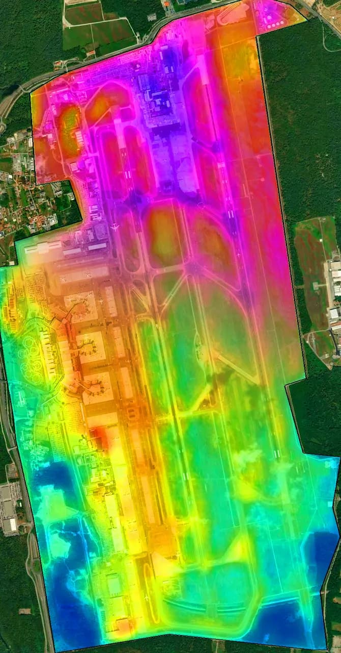
Surface temperature, site-control comparison (37.9 °C vs 43.8 °C), heat island effect and light pollution of the port area.
Land use
Land cover classification of the 72 hectares: sealed surfaces, residual green areas and land use types in the surroundings.
Access the XNatura Environmental Platform
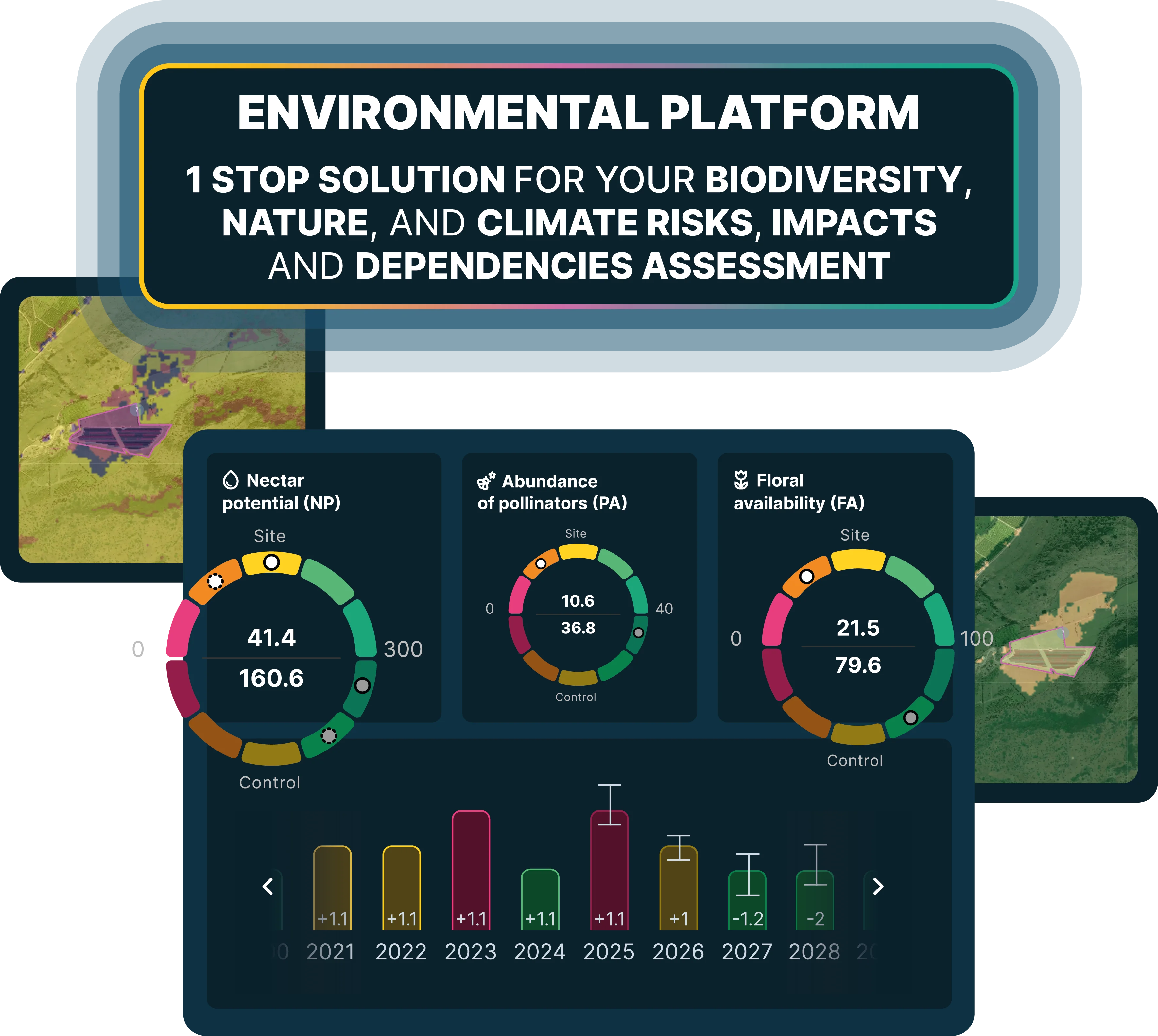
The platform through which the port monitors the ecological status of the port area and the implementation of the impact mitigation action plan.
Do you want to map environmental impacts and opportunities at your port?
XNatura supports port authorities, maritime operators and coastal infrastructure managers in environmental assessment and planning, with satellite mapping, strategic action plans and validated scientific protocols.
 Contact us for information about the platform or for specialized consulting in the environmental field.