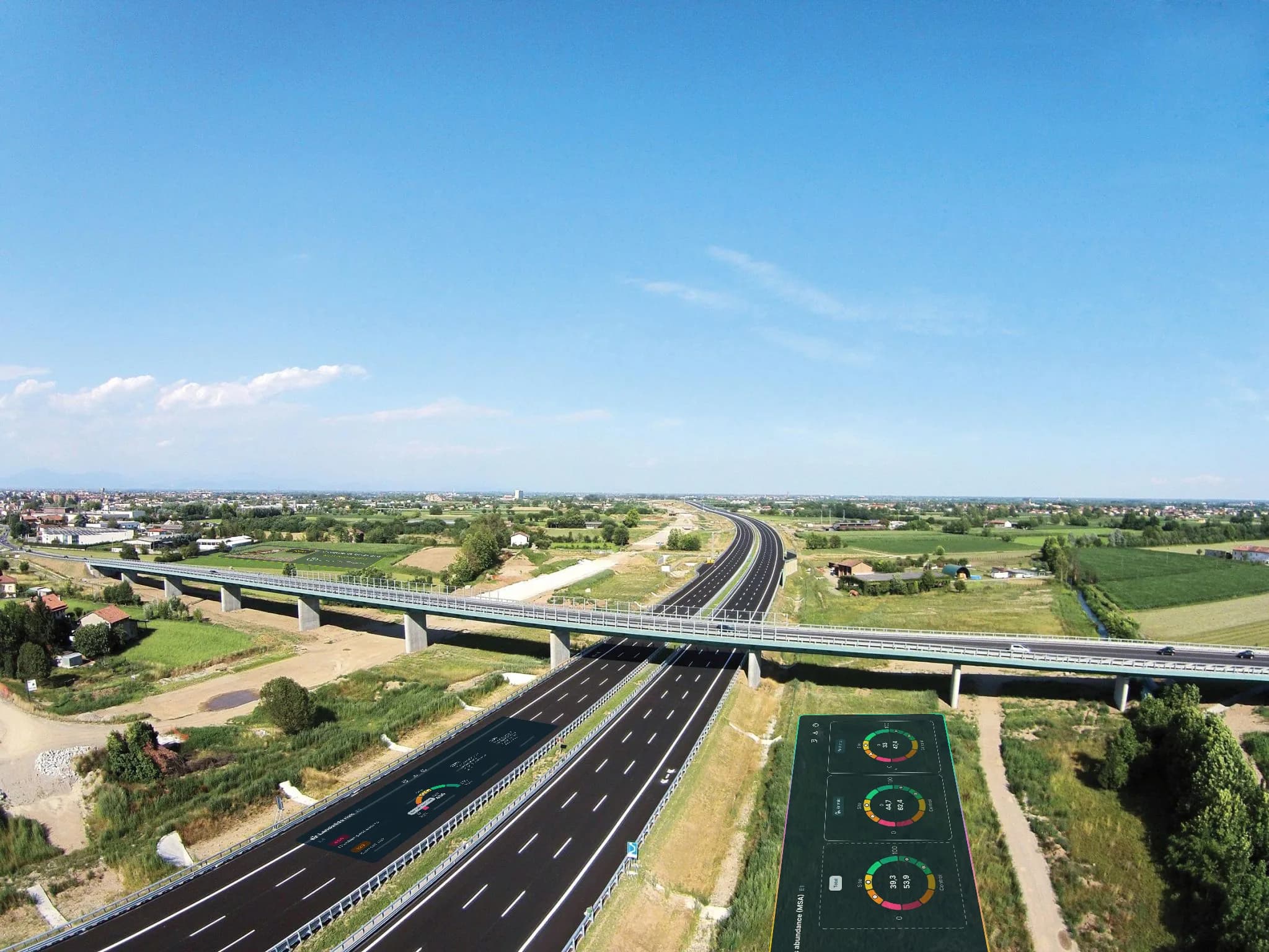
The motorway of biodiversity
Remote sensing monitoring of the entire 62.1 km Brebemi motorway, with IoT sensors, regeneration and community engagement activities at the Treviglio interchange.
monitored
plants
installed
Linear infrastructures cause ecological fragmentation
Motorway infrastructures fragment habitats, disrupt ecological corridors and seal large surfaces, with direct impacts on fauna, pollinators and ecosystem connectivity. The stability of embankments and roadside green strips depends on vegetation health, soil water regulation and the ecological functionality of the territory crossed.
Measuring the effectiveness of mitigation works and engaging the territory
Brebemi needed to monitor the 62.1 km of the motorway and an environmental mitigation project, but also needed scientific data to assess its real ecological effectiveness.
An objective monitoring was needed to quantify the state of biodiversity, compare it with the surrounding territory and build a community engagement programme that demonstrated the infrastructure's contribution to the territory.
Monitoring 62.1 km and regenerating the interchange
XNatura designed a three-year system combining remote sensing monitoring of the entire 62.1 km motorway with IoT sensors, regeneration and community engagement at the Treviglio interchange.
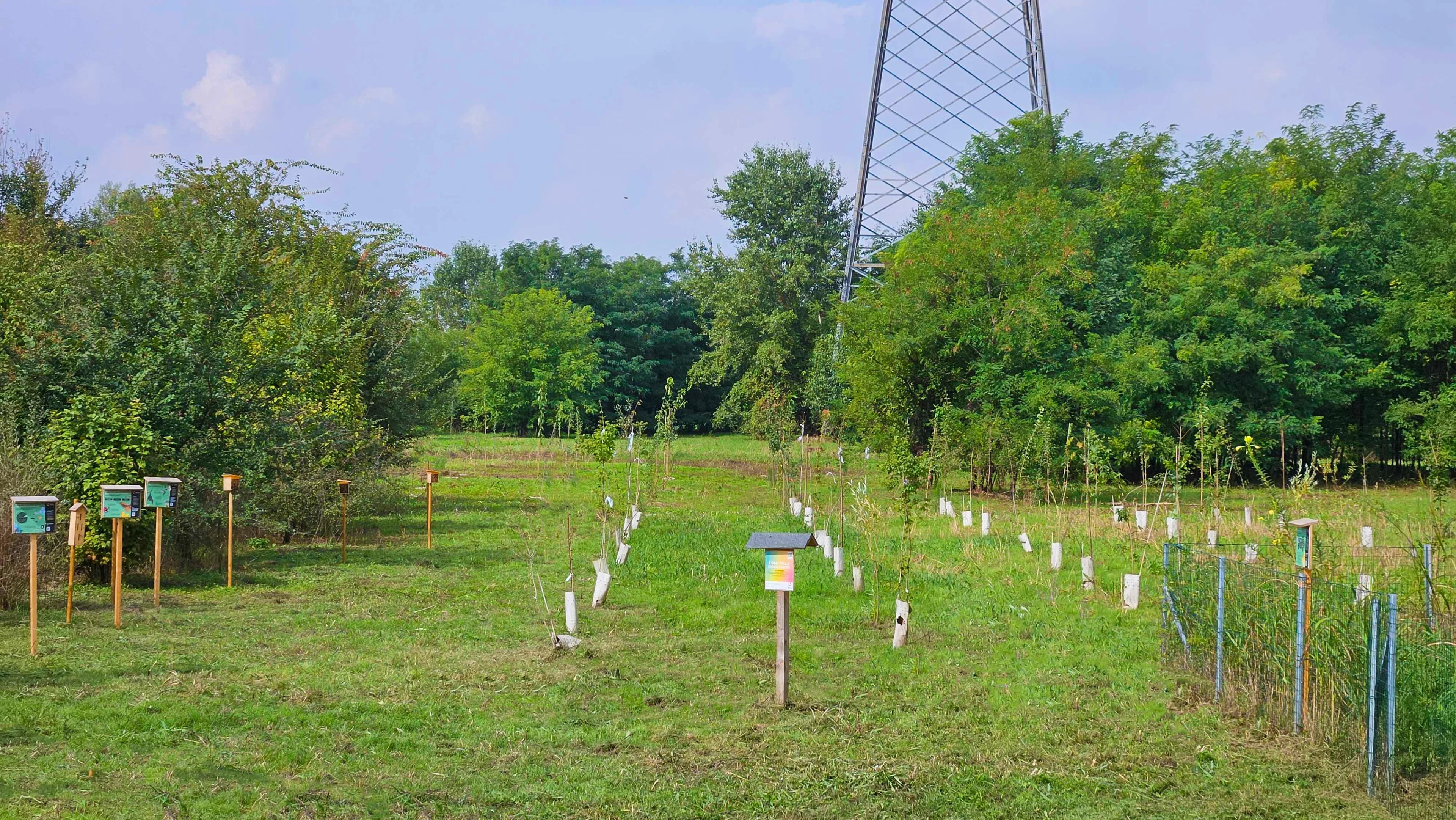
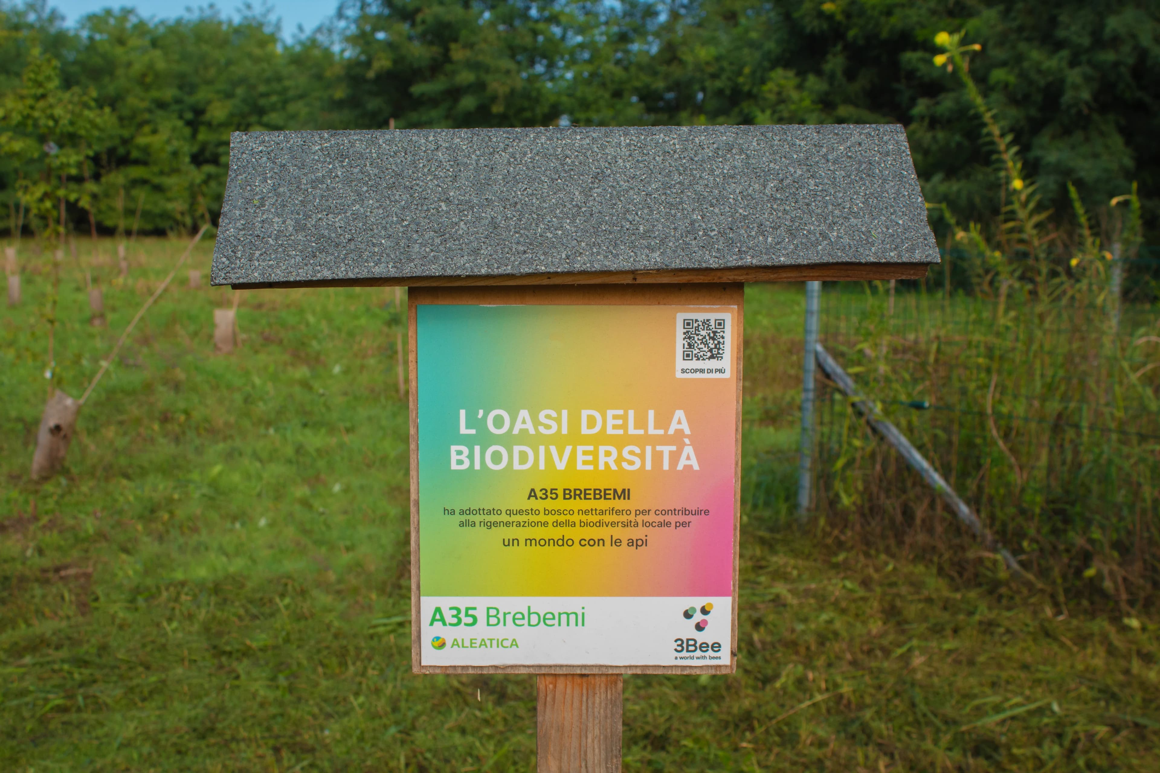
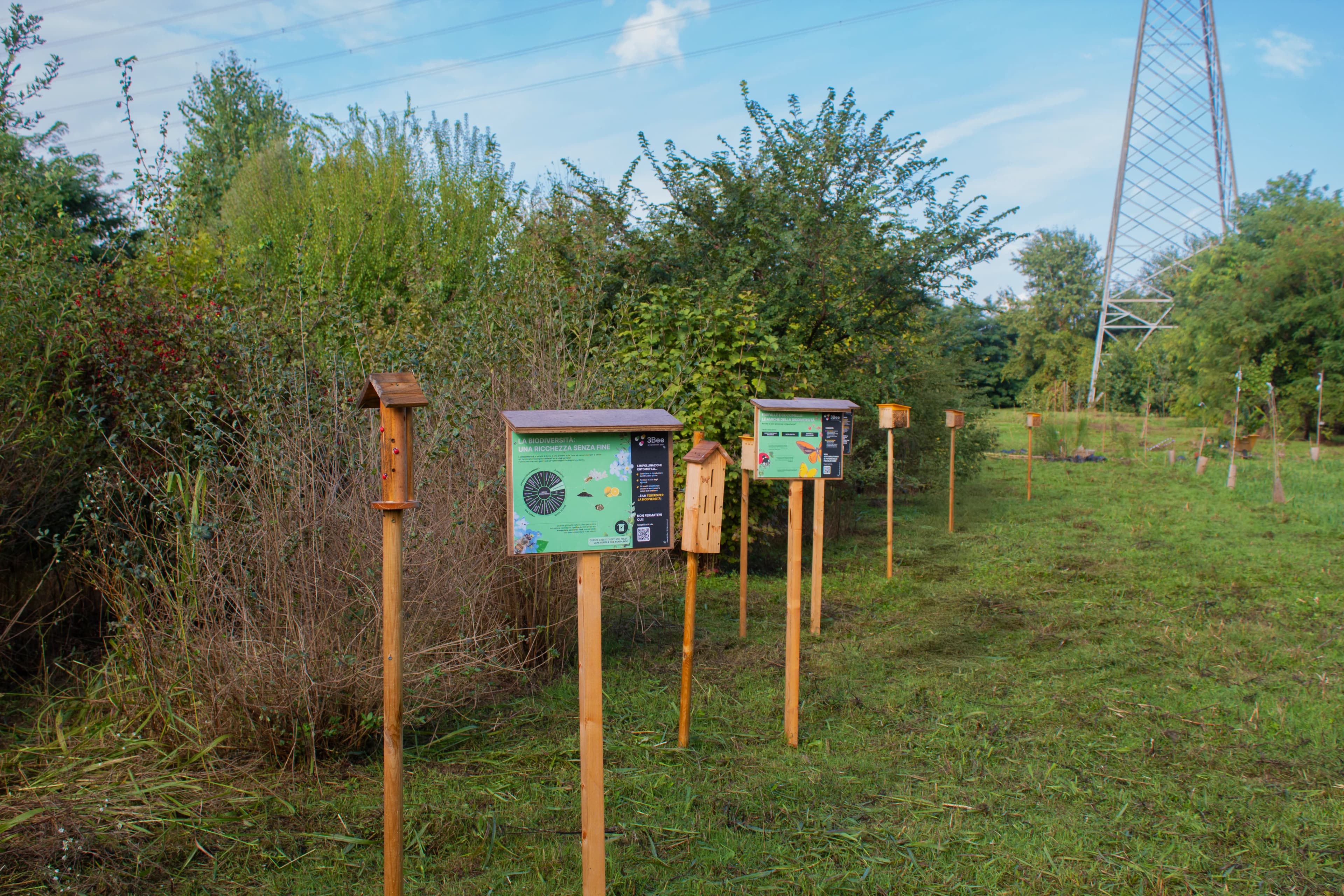
From the motorway to the biodiversity interchange
A project integrating satellite analysis of the entire motorway, IoT sensors and habitat regeneration at the Treviglio interchange to measure the effectiveness of environmental mitigation works.
Ecological assessment of the 62.1 km and the control area
Satellite analysis mapped the entire motorway and adjacent control areas, producing the biodiversity index baseline including MSA, nectar potential, land cover, climate risks and hydrogeological risk. The screening identified 3 protected areas within 10 km of the Treviglio interchange.
125 nectar-bearing plants, regeneration and community engagement
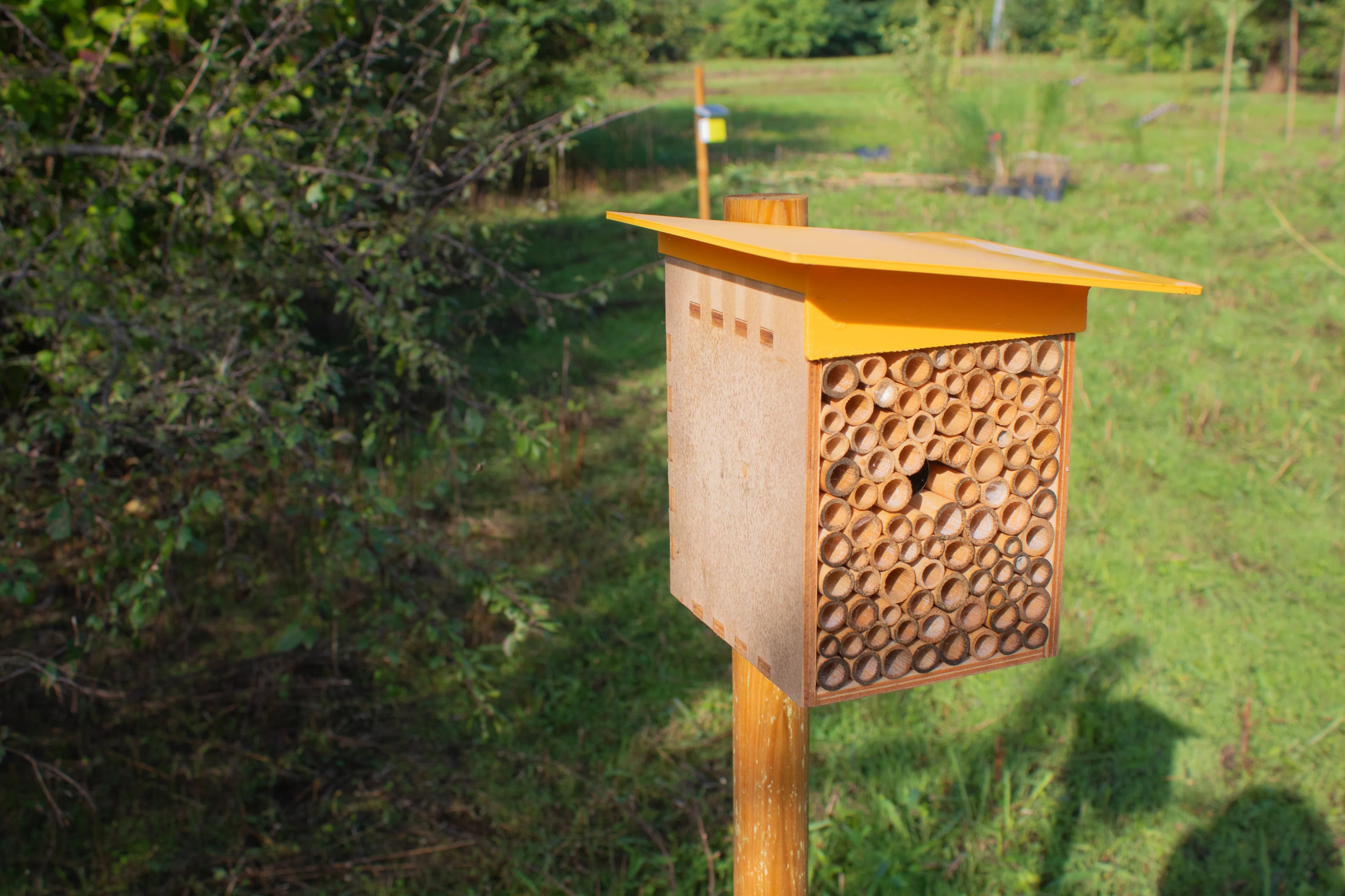
In the Treviglio motorway interchange area, native nectar-bearing plants were planted, added year after year to reach a total of 125 specimens, transforming the area into a functional habitat for pollinators. The site was completed with educational signage and an outreach trail, also becoming a venue for community engagement events for the territory.
8 IoT sensors at the Treviglio interchange
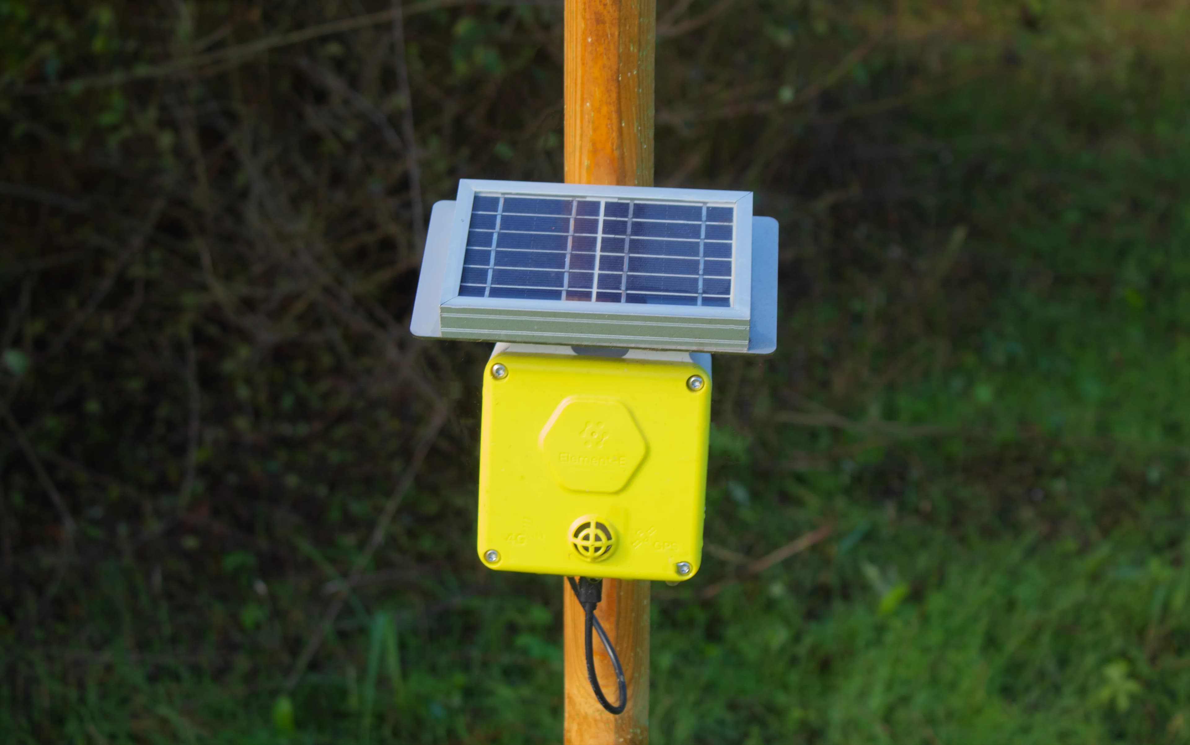
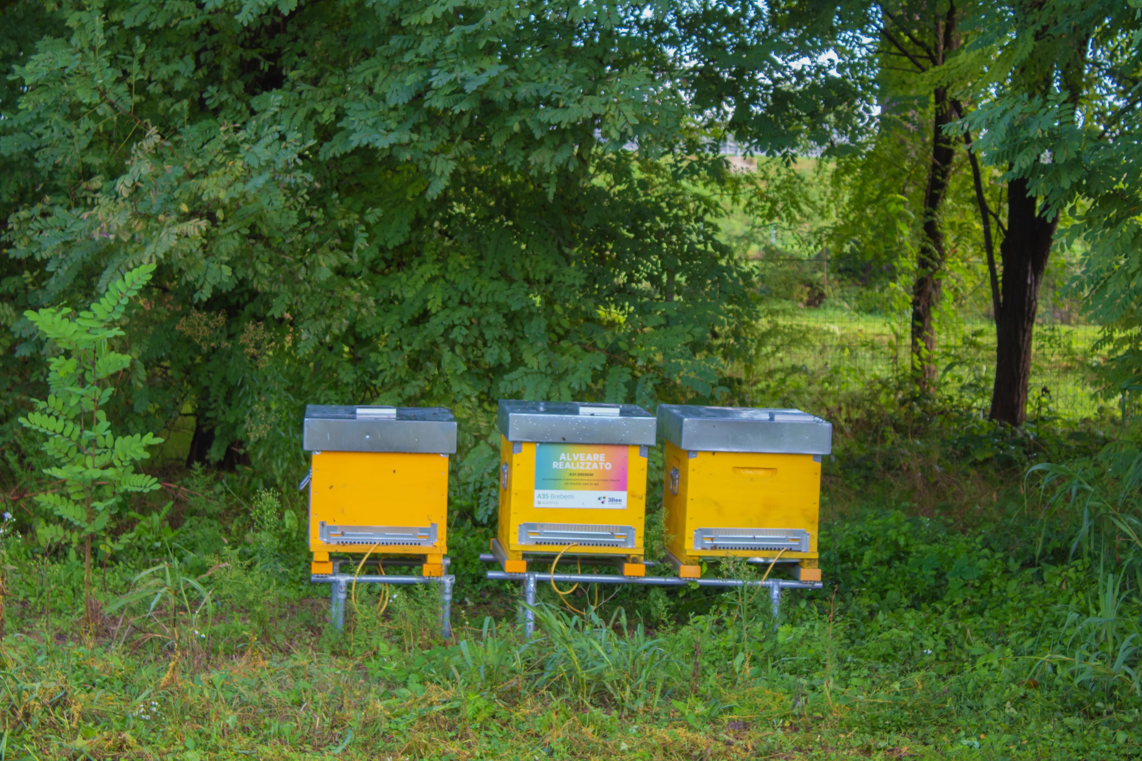
The 8 IoT sensors were installed in the interchange area: 5 Hive-Tech on beehives for colony biomonitoring, 1 Spectrum for continuous acoustic census of wild pollinators, and 2 Birdy sensors for bird monitoring within the phytodepuration area.
Mitigation effectiveness compared to the territory
Satellite data from the entire route and IoT sensor data from the interchange were integrated to produce the complete biodiversity picture. The site-control comparison quantified the MSA Land Use delta, measuring the effectiveness of mitigation works and identifying areas with the greatest regeneration potential.
From the first interchange to the motorway biodiversity network
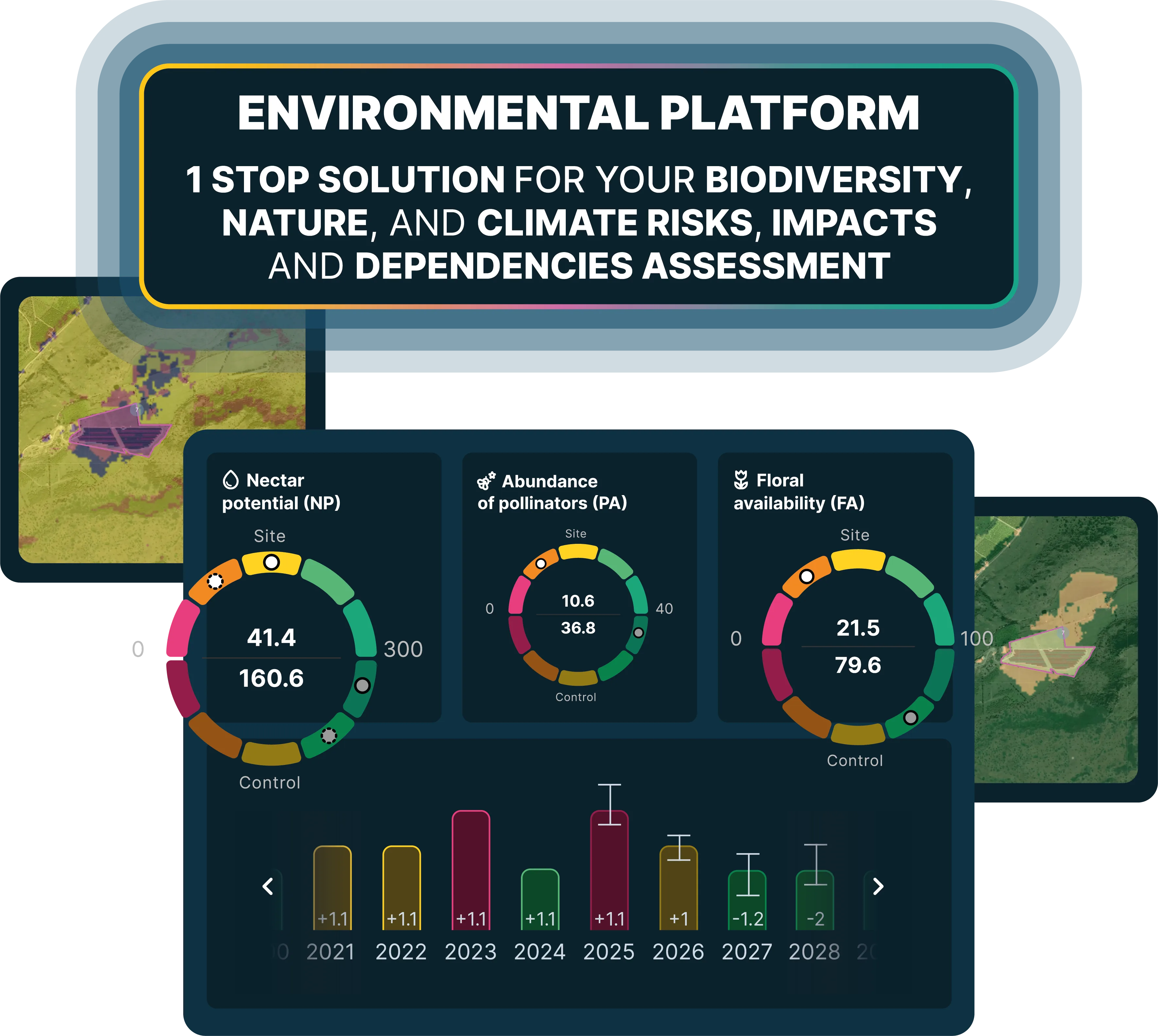
The data flows into the XNatura Environmental Platform, where Brebemi monitors the evolution of biodiversity at the Treviglio interchange and the entire artery. The goal is to build a historical series that documents the effect of regeneration over time.
Data from the Treviglio interchange
site-control
achieved
identified
10 km of interchange
The site-control comparison at the Treviglio interchange reveals a delta of +62 on the MSA Land Use index: the site reaches 82.8 versus 20.1 for the control area. The data demonstrates that mitigation works and regeneration at the interchange have generated significantly better ecological conditions compared to the surrounding agricultural territory.
Spectrum identified 15 distinct pollinator clusters at the interchange, and 3 of the 5 biodiversity targets defined by the XNatura protocol have been achieved. The presence of 3 protected areas within 10 km confirms the interchange's potential as an ecological connectivity node between the infrastructure and the Natura 2000 network.
Monitoring in action
Key sections of the XNatura Environmental Platform dedicated to Brebemi.
Biodiversity status
MSA indices, Natural Patches, nectar potential and site-control comparison along the 62.1 km Brebemi route.
Microclimate
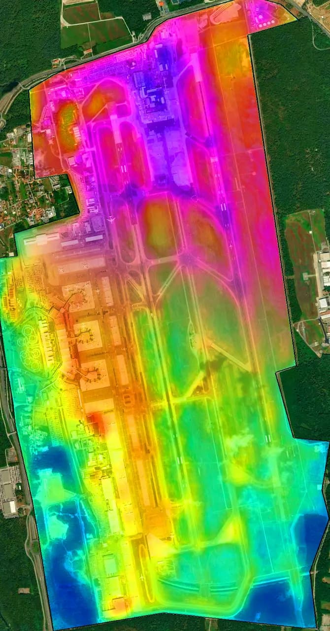
Ground temperature, heat islands and microclimatic variations along the motorway route and in the interchange area.
Hydrogeological risk
Flood risk, landslide risk and hydrogeological analysis of the Treviglio interchange area and the motorway route.
Drought risk
Aridity indices, water stress and soil resilience of the Treviglio interchange area in relation to climate change.
Access the XNatura Environmental Platform
The platform with which Brebemi monitors biodiversity along the 62.1 km motorway and measures the effectiveness of environmental mitigation works with comparable data over time.
Do you want to measure the biodiversity of your infrastructures?
XNatura supports motorway operators, concessionaires and infrastructure operators in biodiversity monitoring with IoT sensors, satellite mapping, site-control comparison and validated scientific protocols.
 Contact us for information about the platform or for specialized consulting in the environmental field.