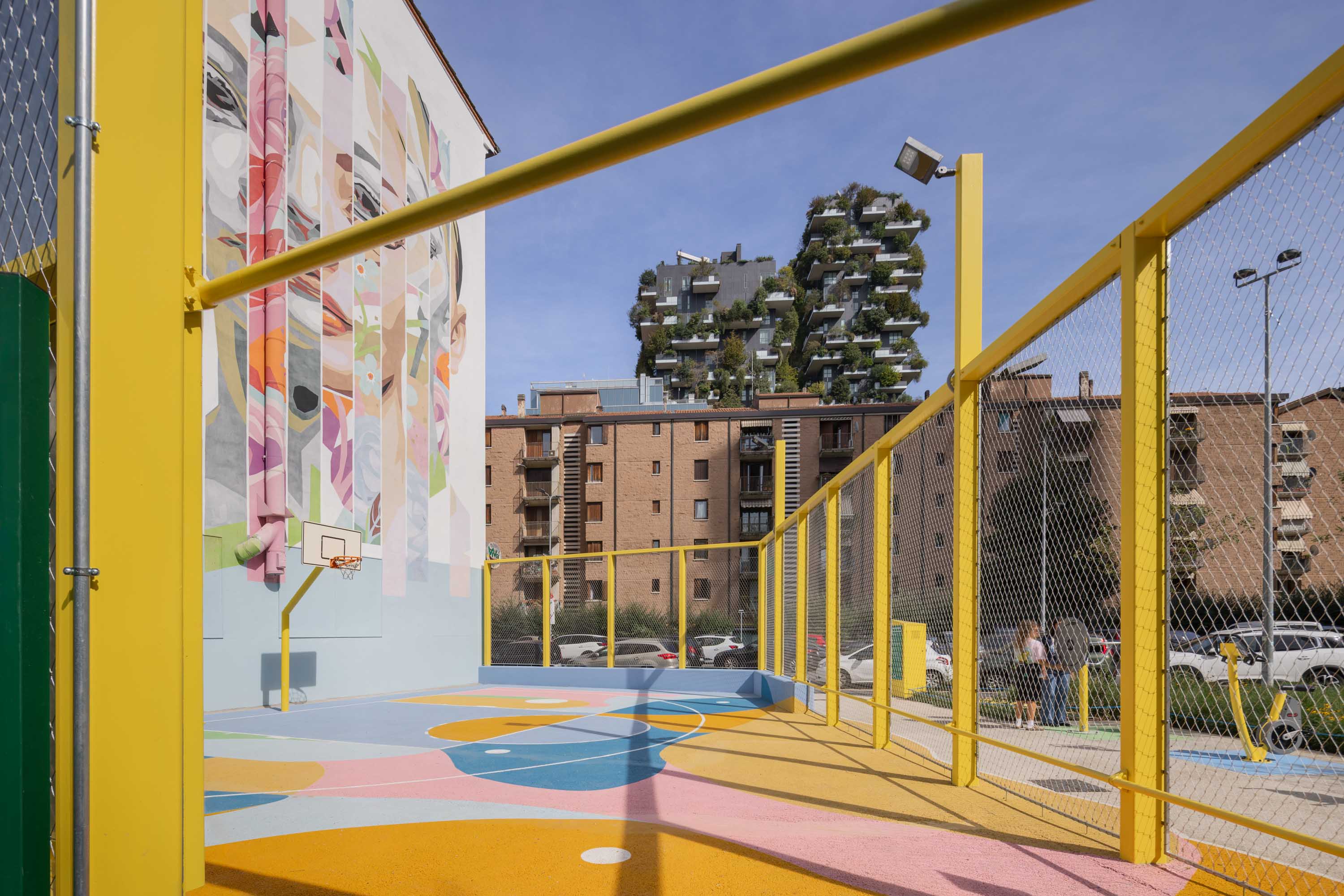
From parking lot to monitored green area
Regeneration of a former parking lot on Via Pepe in Milan into a green area monitored for three years with a PollyX air quality sensor, pollinator shelters and satellite mapping.
monitored
of project
installed
How urban asphalt suffocates Milan's biodiversity
High-density cities like Milan generate direct impacts on biodiversity through soil sealing. Every square metre of asphalt amplifies the heat island effect, eliminates habitats for pollinators and plant species, reduces rainwater absorption and worsens air quality. The loss of green cover is not just an aesthetic issue: it compromises the ecosystem services on which neighbourhood liveability depends, from thermal regulation to natural drainage, from air quality to the survival of local species.
Real environmental data to demonstrate the impact of regeneration
Affari Pubblici and Visa Italia needed structured, multi-year monitoring to prove the ecological effect of converting a parking lot into a green area, with data on air quality and at-risk species.
Comparable year-over-year data were essential to quantify the actual environmental value of the regeneration.
IoT sensors, pollinator shelters and satellite analysis over three years
XNatura designed a three-year monitoring system combining IoT sensors, pollinator shelters and satellite analysis.
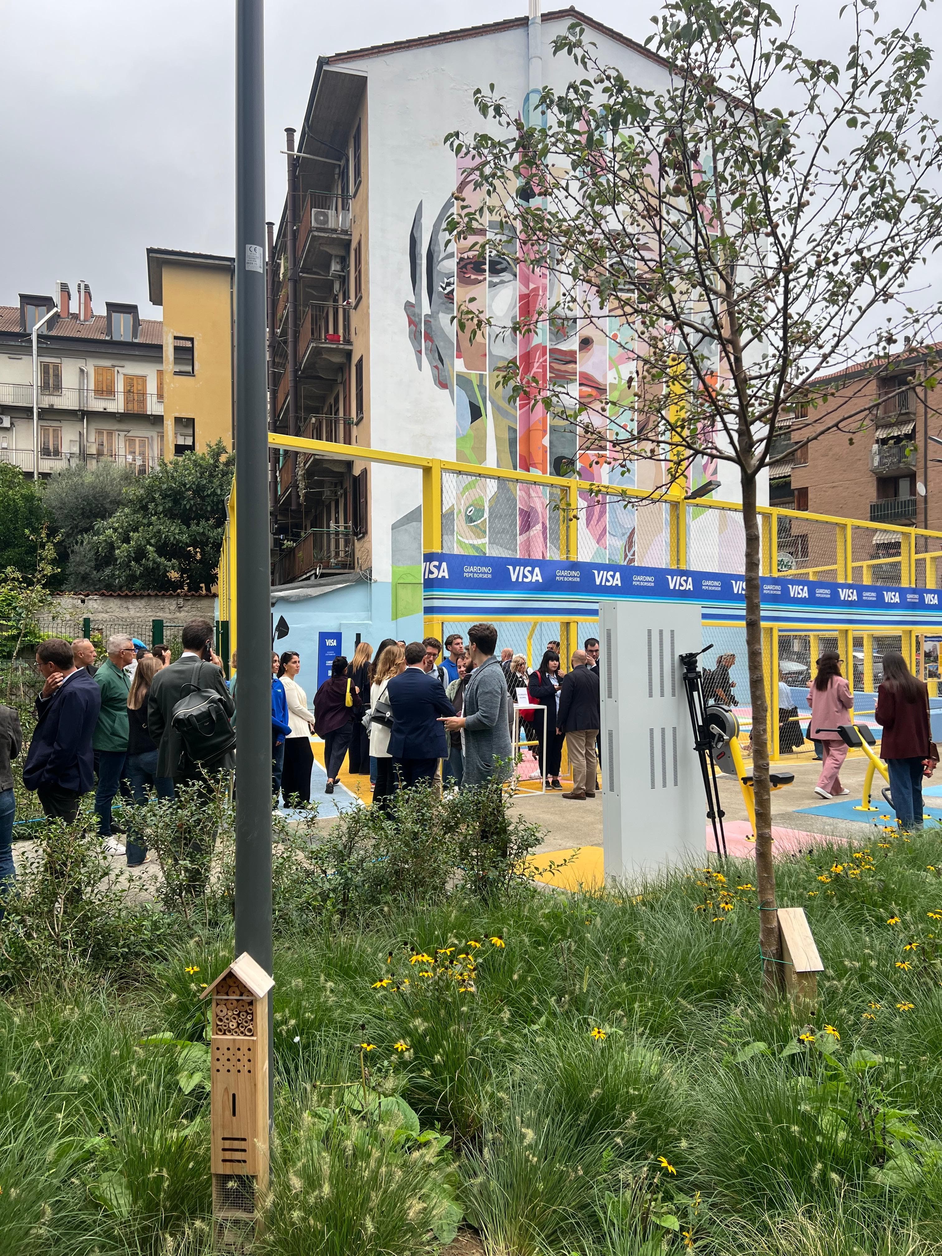
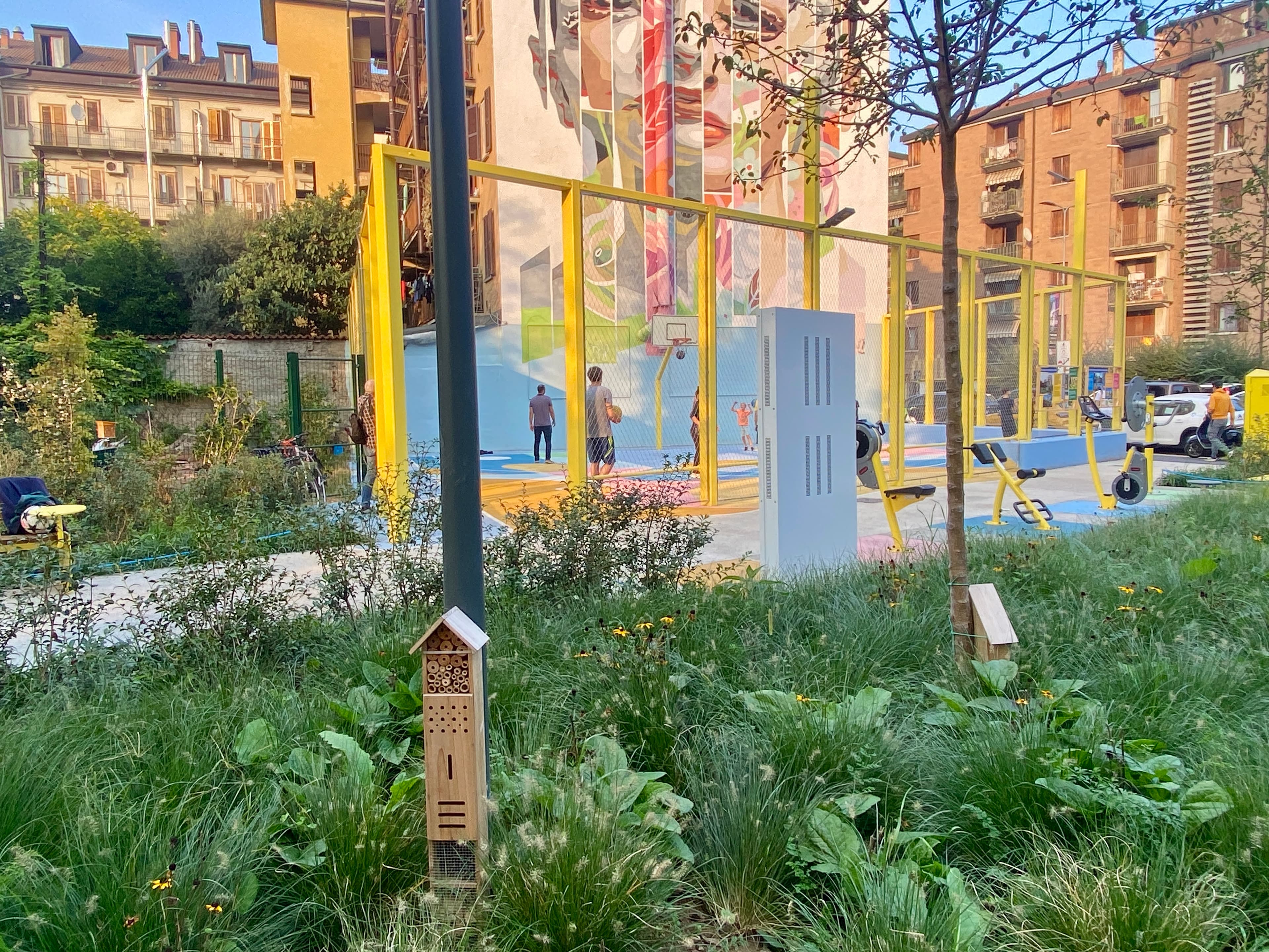
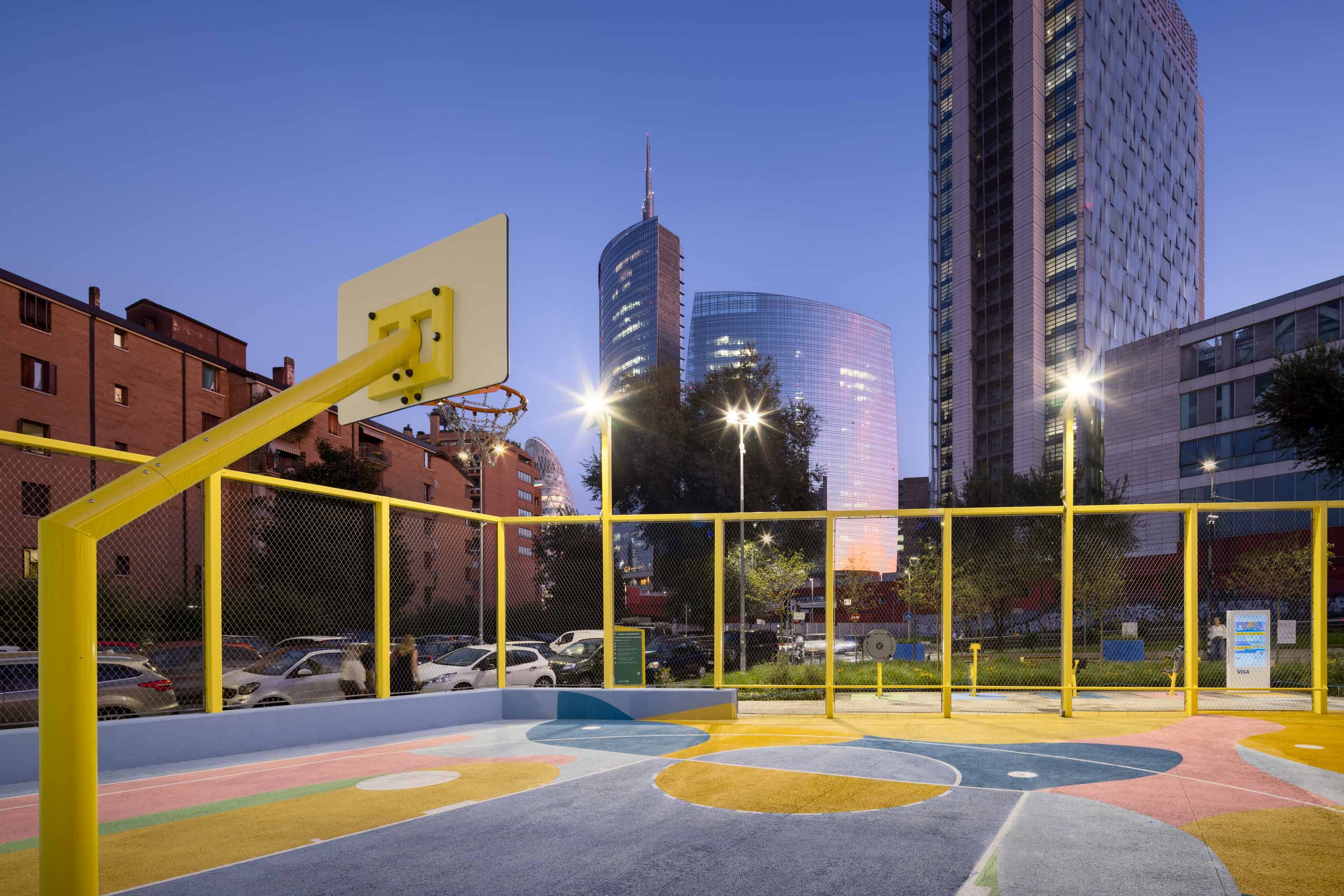
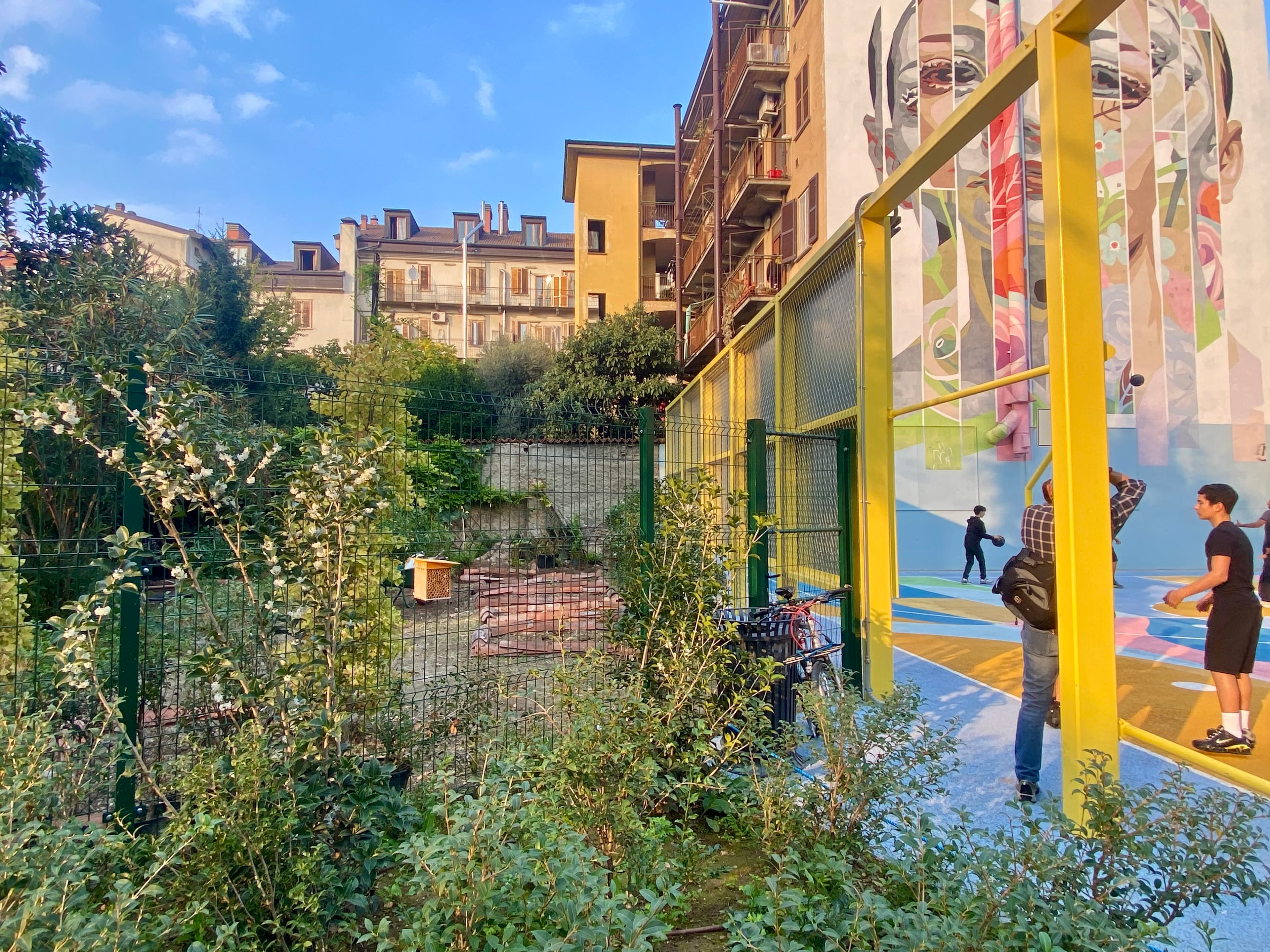
From asphalt to monitored green
A three-year project integrating remote sensing, the PollyX sensor and pollinator shelters to document the environmental impact of an urban regeneration.
Satellite baseline of the site
Before the transformation, satellite analysis captured the site's starting conditions: land use (asphalt parking lot), surface temperature, absence of vegetation cover and the ecological context of the surrounding neighbourhood. This baseline is the reference against which every improvement is measured over the following three years.
6 devices in the green area
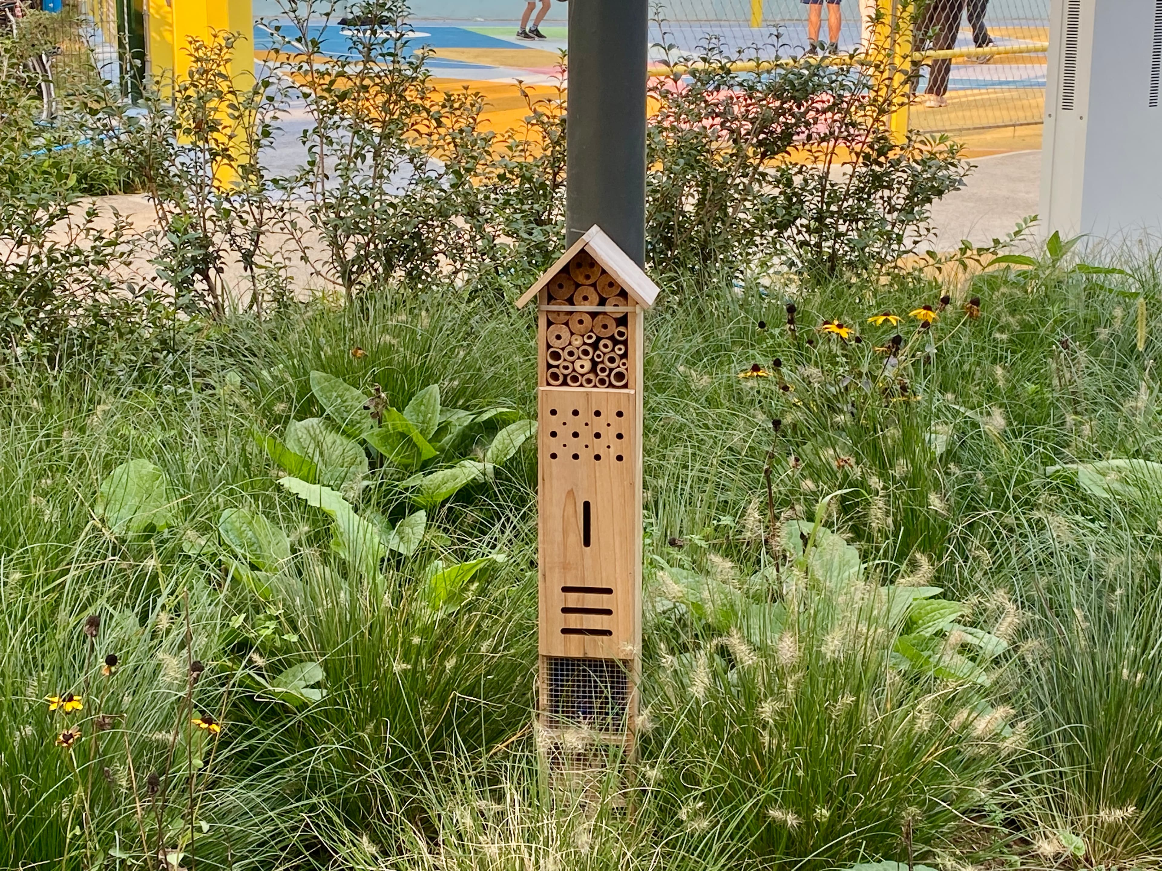
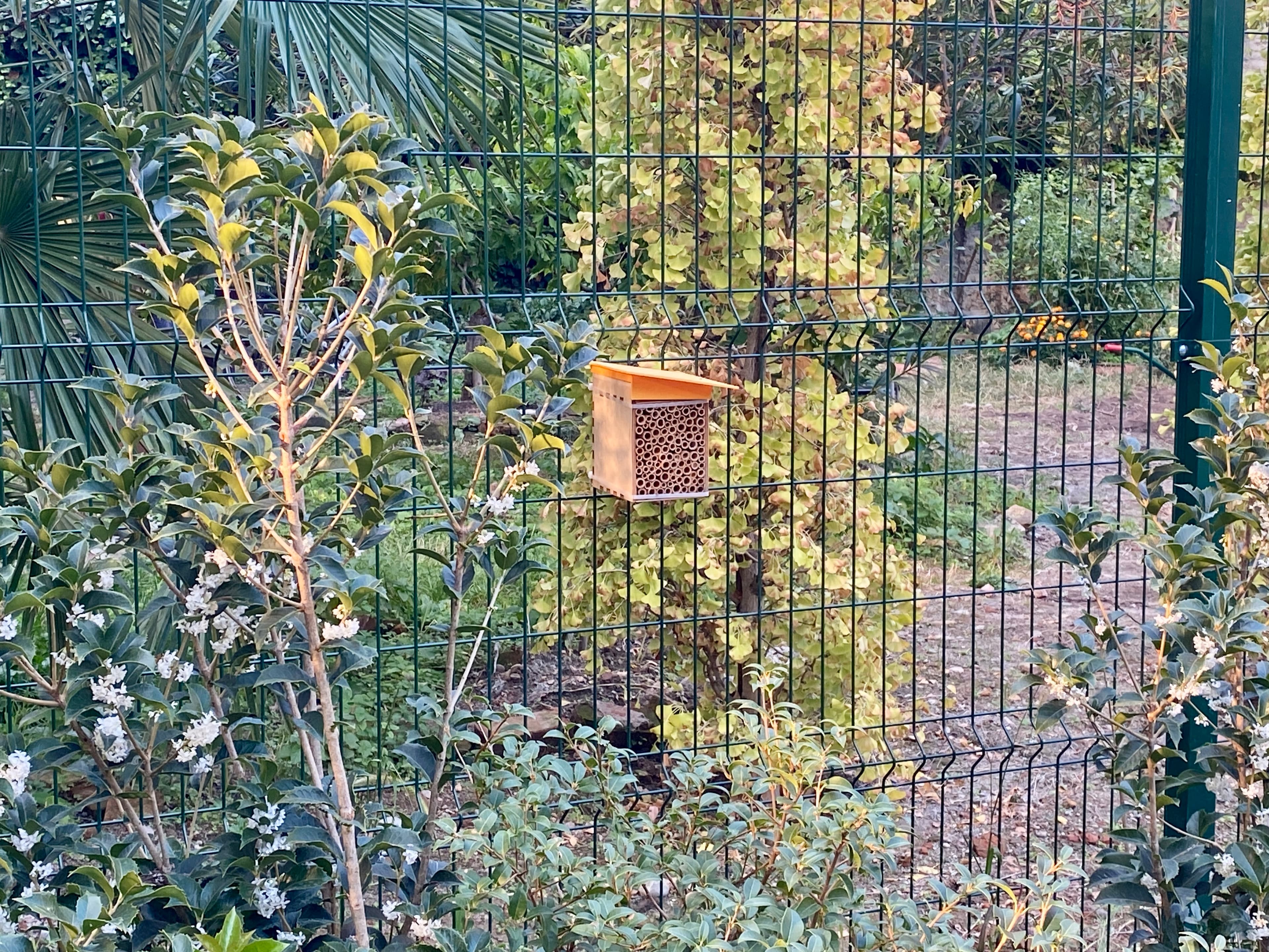
After the conversion of the parking lot into a green area, 1 PollyX sensor was installed for continuous air quality monitoring and 5 shelters for wild pollinators. The PollyX detects PM10, PM2.5 and microclimatic parameters, while the shelters provide nesting habitat for species beginning to colonise the new green space.
Three years of comparative data
The PollyX sensor remains active for three years, producing time series on air quality that document the effect of the vegetation introduced. In parallel, satellite monitoring tracks the evolution of the heat island, vegetation cover and biodiversity indices, building a pre-post comparison that quantifies the benefits of regeneration.
From data to an urban regeneration model
The three-year data flow into the XNatura Environmental Platform, where the Municipality of Milan and partners can visualise the impact of the regeneration. The goal is to build a replicable model: demonstrating with concrete data the environmental and climatic value of converting impermeable soil into a monitored green area.
Data from Via Pepe
potentially at risk
potentially at risk
on site
on site
The data presented represent the initial baseline situation, the starting point of the three-year monitoring against which every subsequent improvement is measured. The satellite assessment revealed a critical context: the site had 57.5% road surface and 42.5% artificial surface, with zero vegetation cover. In the surrounding area, 368 plant species and 364 animal species potentially at risk were identified, highlighting how the urban pressure of the neighbourhood is compressing local biodiversity.
The conversion into a green area and the introduction of vegetation and pollinator shelters must demonstrate, year after year, whether and how much the site is able to reverse the trend, reducing the heat island, improving air quality and creating favourable conditions for at-risk species in the urban context.
Monitoring in action
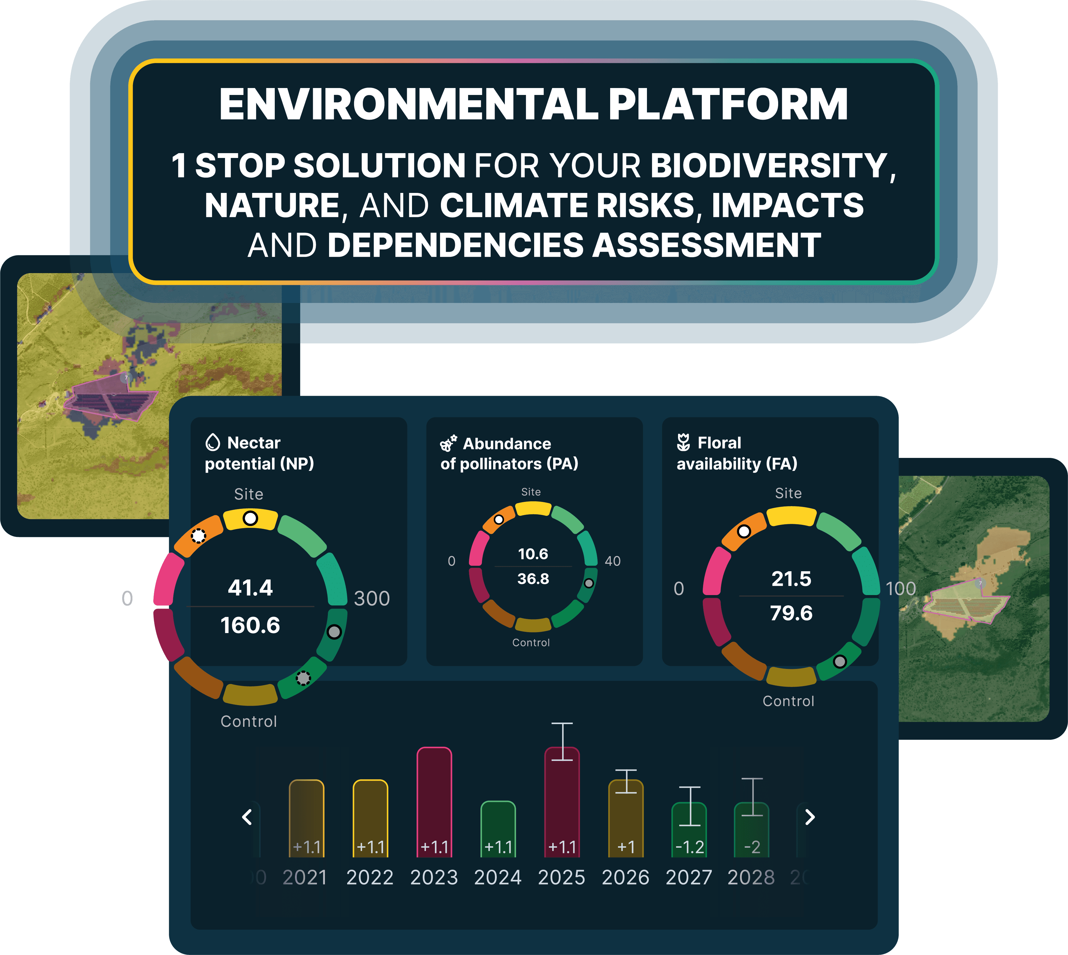
The key sections of the XNatura Environmental Platform dedicated to the Via Pepe site.
Land use
Mapping of soil cover pre and post intervention: road surface, artificial surface, introduced vegetation and site permeability.
Biodiversity status
MSA indices, Natural Patches, at-risk species, floral availability and nectariferous potential of the site and surrounding area.
Microclimate
Surface temperature, urban heat island, light pollution and PollyX data on air quality, PM10 and PM2.5.
Hydrogeological risk
Flood risk and soil permeability on site, with analysis of the impact of de-sealing on rainwater management.
Access the XNatura Environmental Platform
The platform with which Affari Pubblici and Visa Italia monitor the environmental impact of the Via Pepe regeneration over time.
Do you want to monitor the impact of your urban regeneration?
XNatura supports companies, municipalities and institutions in the environmental monitoring of urban regeneration projects, with IoT sensors, satellite mapping and validated scientific protocols, producing data that can be integrated into ESG and reporting frameworks.
 Contact us for information about the platform or for specialized consulting in the environmental field.