








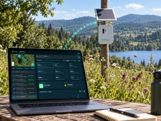

Water Risk Intelligence System
XN Water Risk — Water Risk Intelligence System
Water stress, flood and quality risk on your sites, catchments and suppliers.
For industrial sites, agri-food supply chains and utilities that must disclose water dependencies and impacts under ESRS E3.

What you receive
- 01
Water risk screen
Stress, flood and quality exposure per site and per supplier catchment.Weeks 1–4 - 02
Catchment analysis
Hydrological context, protected waters, upstream pressures and downstream dependencies.Weeks 4–8 - 03
Water action plan
Efficiency, recharge and quality measures, costed and prioritised.Month 3 - 04
Water-stress classification
Sites classified in water-stressed areas (ESRS E3, AR 2).Every year
What changes when the risk is measured
- 2–6 wks
- from asset list to a ranked nature and climate risk screen
- 6 wks
- to a signed ecological baseline on a priority site
- -70%
- time to a defensible, compliant report versus traditional consulting
- XNatura projects, 2024-2025
- 24h
- reply from a named strategist, for the whole engagement
Data behind the product
Satellite, sensors and field, fused into one living baseline.
Satellite water layers
Evapotranspiration, turbidity, water bodies, aridity.PER SITEHydrological models
Water stress, flood hazard and stream networks per catchment.PER SCENARIOField measurements
Quality sampling and flow checks where the data flags it.SEASONALOfficial flood maps
National flood hazard maps where they exist (Italy, Switzerland, Austria, England), global flood models elsewhere.PER SITE
Standards covered
One dataset, every framework your auditor asks for.
ESRS E3
Water and marine resources under CSRDTNFD
Nature-related water dependenciesEU Taxonomy
Sustainable use of water, DNSHWFD
Water Framework Directive status

XN Water Risk in the field · Agrifood
San Pellegrino and Acqua Panna: catchment monitoring around the springs.
Water stress and quality indicators on the catchment, biodiversity sensors on the protected area, one evidence base for stewardship and disclosure.
Read the case study →30 minutes with the team, on XN Water Risk.
Video call on Google Meet
Would you rather talk it through?
Either way you are speaking with an AI assistant, and the conversation is transcribed. How we handle your data
FAQ
Frequently asked questions
What is the Water Resources Suite of XNatura?
The Water Resources Suite of XNatura analyzes historical data, satellite maps, and field samples with the aim of identifying the greatest risks from water resources and the major impacts your company may have on them.
What do you receive from XN Water Risk?
Water risk screen. Stress, flood and quality exposure per site and per supplier catchment.
What data feeds XN Water Risk?
Satellite water layers: Evapotranspiration, turbidity, water bodies, aridity.
Which standards does XN Water Risk support?
ESRS E3, TNFD, EU Taxonomy, WFD.
Which other XN product is XN Water Risk often combined with?
XN Clima: Drought and flood scenarios on the same assets.