










LiDAR Digital Twin System
XN Twin — LiDAR Digital Twin System
One LiDAR scanner flies on the drone over the site and comes off to survey by hand where the drone cannot go: inside buildings, under the canopy, in tunnels and cable ducts. You receive a georeferenced 3D point cloud and the measures taken from it.
For companies that must insure and protect their assets, for whoever manages forests and natural areas, for operators of buildings and networks. XN Twin is new in 2026: the first surveys are pilot projects.

What you receive
- 01
Survey plan
Area, flights, handheld paths and the accuracy you need, agreed on the site before the survey.At the start - 02
Drone and handheld survey
The same scanner from the air over the site and by hand inside buildings and under the canopy, in one coordinate system.Per survey - 03
Point cloud and models
Georeferenced point cloud in LAS/LAZ and E57, terrain and surface models, canopy height.Per survey - 04
Measures and report
Elevations, distances, sections and volumes for the use you need: insurance, forest, BIM, network.Per survey
What changes when the risk is measured
- 2–6 wks
- from site list to a ranked nature and climate risk screen
- 6 wks
- to a signed ecological baseline on a priority site
- -70%
- time to a defensible, compliant report versus traditional consulting
- XNatura projects, 2024-2025
- 1 working day
- for a reply from a named expert on the team
Data behind the product
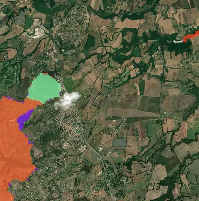
From the drone and by hand, on the same site as the platform's data.
LiDAR from the drone
Roofs, terrain, canopy and lines over the whole site, positioned with RTK.PER SURVEYHandheld LiDAR
The same scanner off the drone, without GPS (SLAM): rooms, plants, tunnels and the forest floor.PER SURVEY150+ map layers
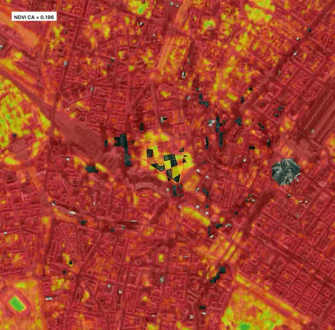
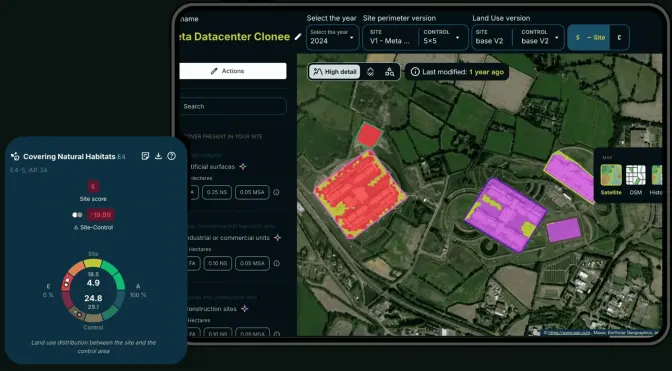
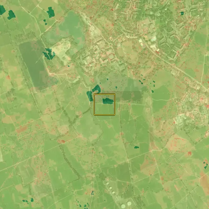
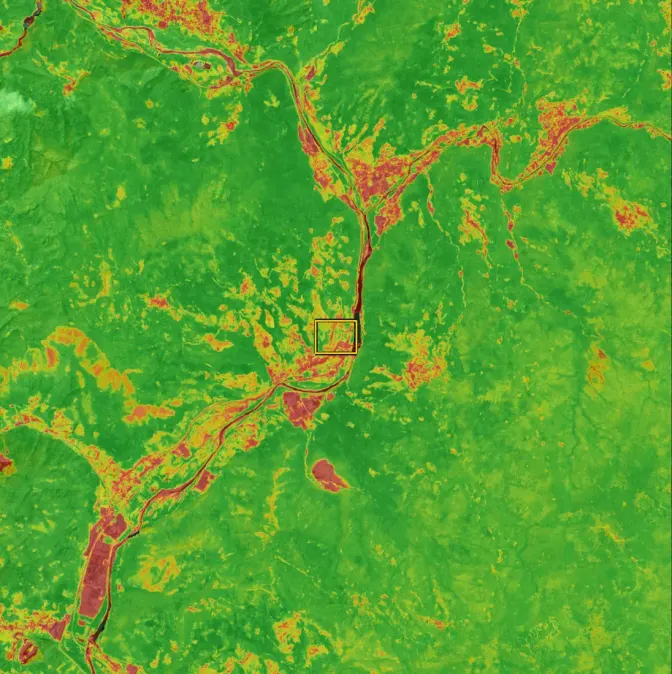
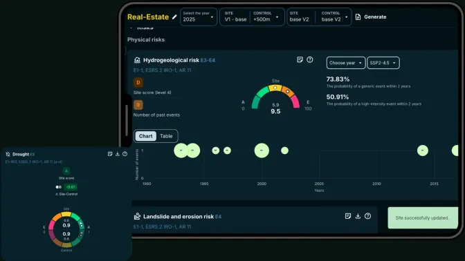
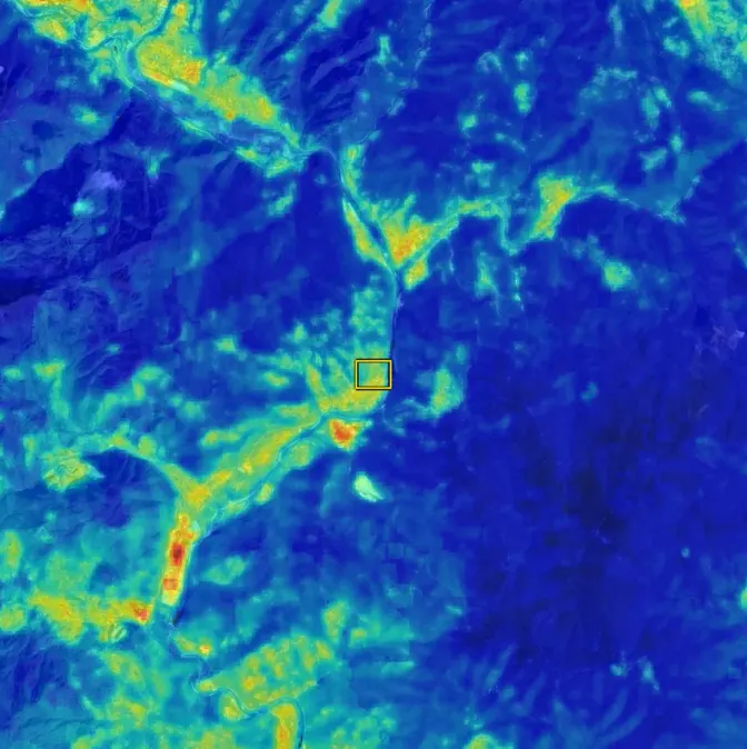
The site's habitats, land cover and climate risks from the platform, on the same perimeter.PER SITEField
Visits and notes with the field mode of the Biodiversa app, on the same site.ON REQUEST
Standards covered
One dataset, every framework your auditor asks for.
Law 213/2023
Italy: compulsory insurance of company assets against natural catastrophesRegulation (EU) 2024/1991
Nature restoration: deadwood and structure of forestsD.Lgs 36/2023, art. 43
Italy: BIM in public works above 2 million euroSINFI
Italy: national register of networks and infrastructuresISO 19650
Information management with BIM

XN Twin in the field · Pilot
XN Twin is new: the first surveys are pilots.
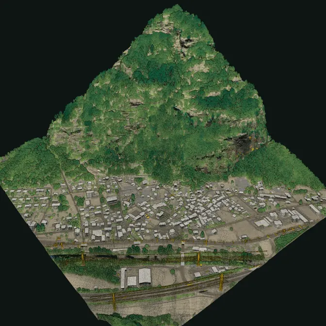
We have no XN Twin survey of ours to show yet, so this page shows none. The picture is an open LiDAR dataset of swisstopo, rendered by us. The first sites will be pilot projects, and their results will appear here with the client's consent.
Propose a pilot site →30 minutes with the team, on XN Twin.
Video call on Google Meet
Would you rather talk it through?
Either way you are speaking with an AI assistant, and the conversation is transcribed. How we handle your data
FAQ
Frequently asked questions
What do you receive from XN Twin?
Survey plan, Drone and handheld survey, Point cloud and models, and Measures and report.
What data feeds XN Twin?
LiDAR from the drone, Handheld LiDAR, 150+ map layers, and Field.
Which standards does XN Twin support?
Law 213/2023, Regulation (EU) 2024/1991, D.Lgs 36/2023, art. 43, SINFI, ISO 19650.
Which other XN products is XN Twin often combined with?
XN Clima, XN Ecology, and XN Vegetation.