







 MASE projects
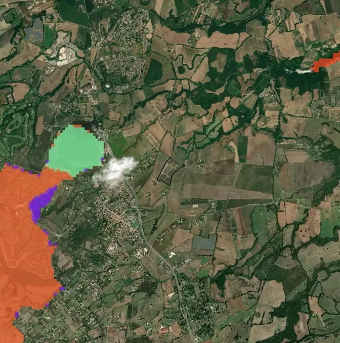
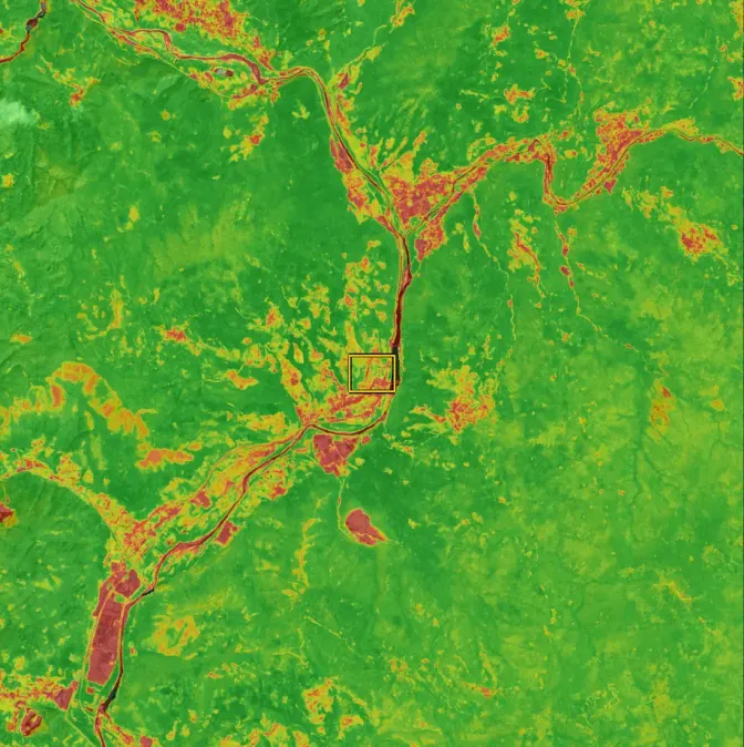
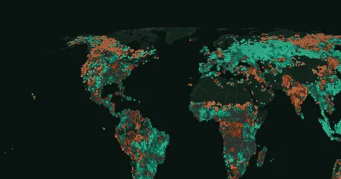 Wildfires worldwide
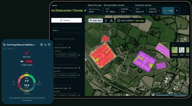
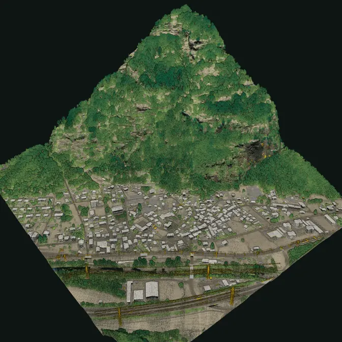
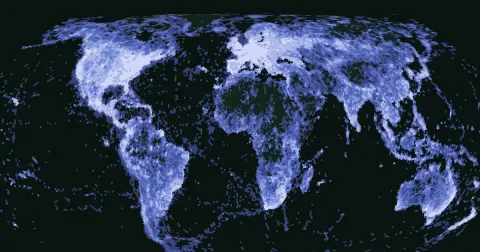 Species worldwide
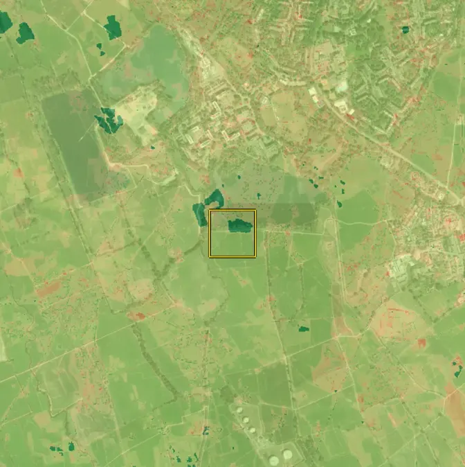
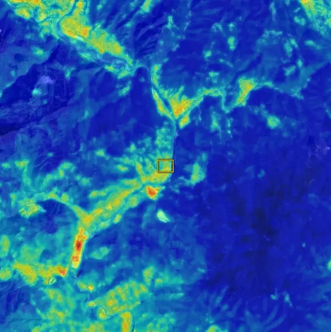
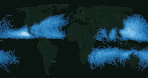 Tropical cyclones
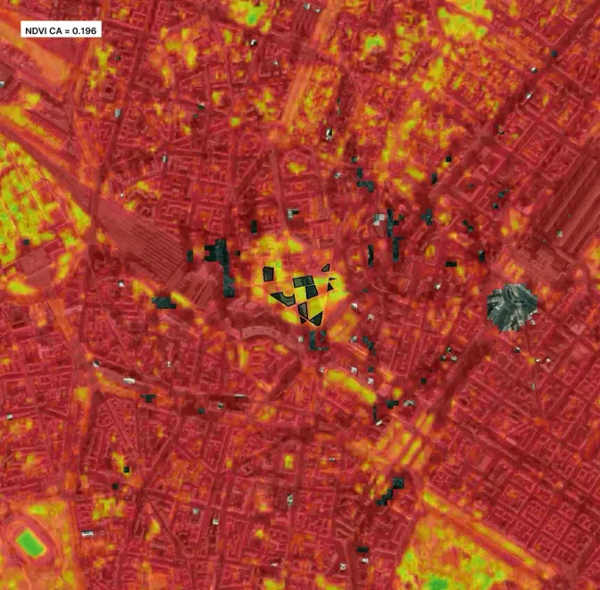
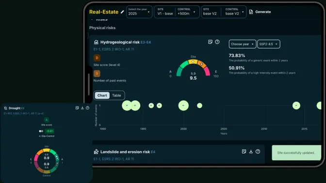
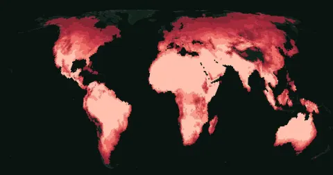 Extreme heat


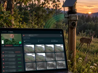
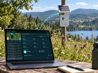

Industries · Transportation
Motorways, railways, airports and ports, with nature and climate risk on every section.
Infrastructure operators carry monitoring obligations for decades. XNatura keeps the record current per section and turns it into the documents authorities expect.

Autostrade per l'ItaliaA35 BrebemiGruppo SAVECAVAir DolomitiGEST
Across the portfolio
- 200+
- projects monitored
- 12
- countries, 4 continents
- 8,000+How it is calculated8,000+ sensors registered on the platform, of every type: hive scales, Spectrum, anti-theft trackers, Birdy, camera traps, Kiro, Sintropy Air, Song Meter and noise and air stations.Source: XNatura platform device register, as of 3/11/2026
- registered IoT sensors
- 150+How it is calculated157 map layers out of 160 processing types in the platform's register: satellite, official maps and models.Source: XNatura platform register, counted on 18/10/2026
- map layers: satellite, official maps and models
What is at stake for Transportation operators
- Monitoring conditionsEIA and environmental monitoring plans require the same evidence, year after year.XN Impact · XN Biodiversity
- Vegetation and safetyEncroachment along corridors affects safety, visibility and maintenance budgets.XN Vegetation
- Flood and heat on the networkPhysical climate scenarios on bridges, tunnels and runways.XN Clima · XN Water Risk
Recommended for Transportation
Three products cover most Transportation portfolios.
Start from the one your next deadline needs; the others plug into the same site model.
- XN Biodiversity
Biodiversity & Nature Management System
Biodiversity monitoring per section, permitting evidence included.Learn more - XN Vegetation
Vegetation Management System
Vegetation health and encroachment along the corridor.Learn more - XN Impact
Environmental Impact Intelligence System
EIA and monitoring-plan evidence per section, campaign after campaign.Learn more
Transportation projects
Corridors, airports and ports we monitor.
drag to rotate · pick a pin, open its case study
ITPisa, ItalyAutostrade per l'ItaliaInfrastructureXN VEGETATIONRead the case studyAll case studiesTransportation case studies
 Brebemi · InfrastructureThe motorway of biodiversityRead the case study
 CAV · InfrastructureRegenerating the motorway, educating the territoryRead the case study
 Highway Ecological Corridors · InfrastructureIoT camera traps in underpasses to measure the effectiveness of ecological corridorsRead the case study
 Airports · InfrastructureMapping risks and biodiversity of 5 Italian airports from satelliteRead the case study
 Gruppo Save · InfrastructureA single platform for the environmental monitoring of Marco Polo AirportRead the case study
 GEST · InfrastructureBiodiversity in the Florence tramway depotsRead the case study
Example reports
See what you receive: real reports, anonymised
Deliverables our experts signed for real clients, with names, places and coordinates removed. Pick one, leave your details and download the PDF straight away.
Your report is ready.
Open it now. If it fits a project of yours, an expert from the team may follow up.
Download the PDF ↓The request did not go out. Try again in a minute: what you wrote is still here. Or write to info@3bee.com.
FAQ
Frequently asked questions
Why is it important to monitor biodiversity in the infrastructure sector?
The infrastructure sector has a significant impact on the fragmentation of natural habitats and land use.
What's the biggest nature and climate risk in Transportation?
Monitoring conditions. EIA and environmental monitoring plans require the same evidence, year after year.
What else does XNatura monitor in Transportation?
Vegetation and safety. Encroachment along corridors affects safety, visibility and maintenance budgets.
Which XNatura product is the best starting point in Transportation?
XN Biodiversity: Biodiversity monitoring per section, permitting evidence included.