










XN Twin · Buildings and networks
Buildings, cable ducts and networks: the as-built state in 3D
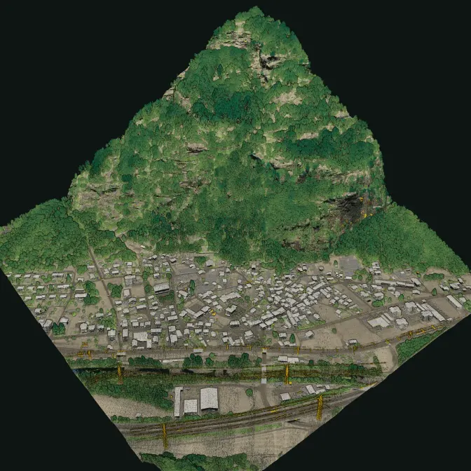
Outside, the drone surveys roofs, façades, lines and the corridor around them; inside, the scanner off the drone walks through rooms, substations, tunnels and cable ducts. The point cloud is the as-built state of the asset: the base for the BIM model, for the network register and for the distance between vegetation and conductors.

The rules
BIM in public works and a national register of networks
In Italy, the Public Contracts Code (D.Lgs 36/2023, art. 43) has required digital information management, BIM, since 1 January 2025 for new works and for interventions on existing constructions with an estimated cost above 2 million euro; ordinary and extraordinary maintenance is excluded, unless the work was built with BIM. The SINFI, set up by D.Lgs 33/2016, is the national register of infrastructures, with electricity, telecommunications, gas, water, district heating and public lighting networks: network operators communicate to it the works on their infrastructure at least ninety days before the site opens.
- 1
The asset
A building, a substation, a cable duct, a stretch of line or a network node.
- 2
The survey
The drone outside, the scanner by hand inside and underground, joined in one coordinate system.
- 3
The deliverable
Point cloud in E57 and LAS/LAZ for BIM and GIS software, plans, sections and measured distances.
Sources: D.Lgs 36/2023 (Public Contracts Code), art. 43 (Italian) · D.Lgs 33/2016, art. 4: the SINFI (Italian) · SINFI, Ministry of Enterprises (Italian)
The data
What the survey gives you
The geometry of the asset as it is today, for whoever designs, manages or registers it.
What we deliver
- Point cloud of the building inside and out, in E57 and LAS/LAZ, to import into BIM software
- Plans, sections and elevations taken from the point cloud
- Tunnels, manholes and cable ducts you can enter, with their route and depth
- Open trenches surveyed during the works, before they are closed
- Lines and the vegetation around them from the drone, with the distance between branches and conductors measured on the point cloud
Limits
- LiDAR sees surfaces: buried cables and pipes are surveyed only through manholes and tunnels or while the trench is open
- We deliver the survey: the BIM model, with its objects and information, is built by the designer
Stays with the designer and the operator
- The BIM model and its information requirements (ISO 19650)
- The data sent to the SINFI, in its format
- The safety checks of the line and the cutting plan
Then
Along the whole network, satellite first
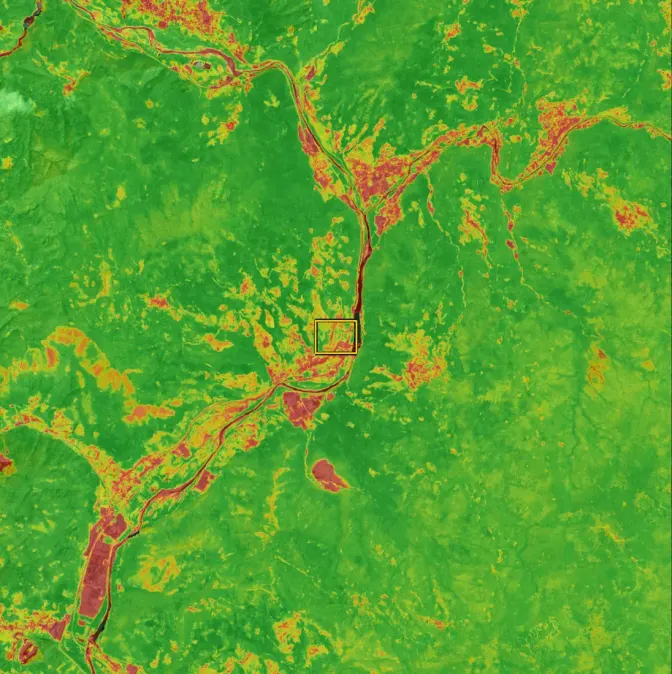
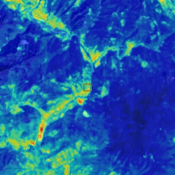
For hundreds of kilometres, XN Vegetation analyses the strip around the lines from satellite and tells you which stretches to survey with the drone.
FAQ
Questions on buildings and networks
Do you produce the BIM model?
We deliver the point cloud and the drawings taken from it, in the formats BIM software imports. The model, with its objects and information, is built by the designer or the BIM specialist.
Can you survey underground cable ducts?
The parts you can enter or see: tunnels, manholes, chambers and open trenches during the works. LiDAR does not see through the ground.
Can you measure the distance between trees and power lines?
Yes, from the drone: the point cloud holds the conductors and the trees, and the distance is measured on it. For long networks, XN Vegetation first points to the stretches to survey.
Is the survey enough for the SINFI?
The survey gives the measured route of what it sees. Which data to send and in which format is set by the SINFI rules, and the operator sends them.
30 minutes with the team, on XN Twin.
Video call on Google Meet
Would you rather talk it through?
Either way you are speaking with an AI assistant, and the conversation is transcribed. How we handle your data