










XN Twin · Underground
Underground: cable ducts, pipes and ordnance before you dig
LiDAR stops at the surface. Below it, ground penetrating radar sends radar waves into the ground and reads their echoes: cable ducts, pipes, voids, old foundations. The magnetometer measures the small changes in the magnetic field caused by buried ferrous masses, unexploded ordnance included. Both maps land in the same coordinate system as the LiDAR survey.

The rules
Before digging: ordnance risk and buried networks
In Italy, the risk assessment of sites with excavation includes unexploded ordnance (D.Lgs 81/2008, art. 28), and the design coordinator carries it out (art. 91, paragraph 2-bis). If they decide on preventive clearance, the client hires a specialised firm registered in a roll of the Ministry of Defence (art. 104, paragraph 4-bis), which works under the binding opinion of the military authority. For networks, operators tell the SINFI about works on their infrastructure at least ninety days ahead (D.Lgs 33/2016, art. 4).
- 1
The area
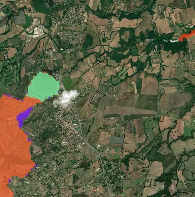
The perimeter of the planned excavation, with the networks already known and the history of the site.
- 2
The surveys
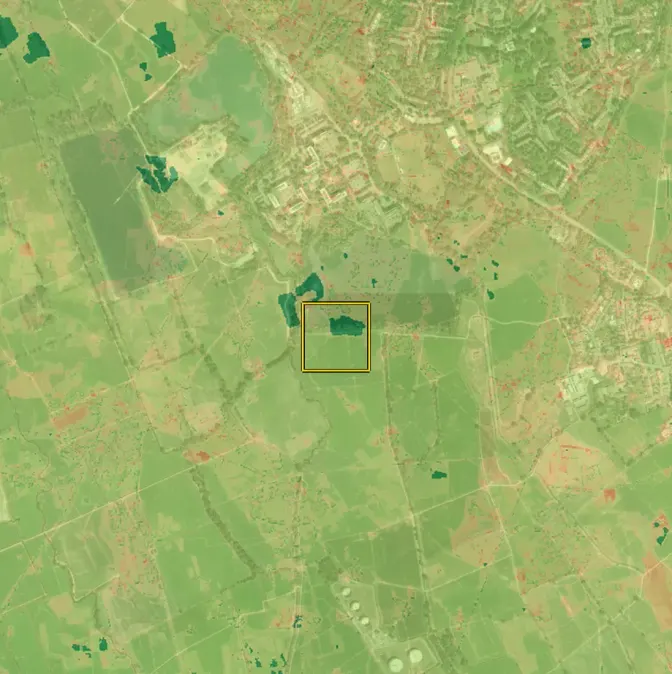
GPR on the ground along a grid of lines; magnetometer on foot or from the drone, over open ground without walking on it.
- 3
The maps
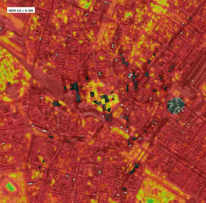
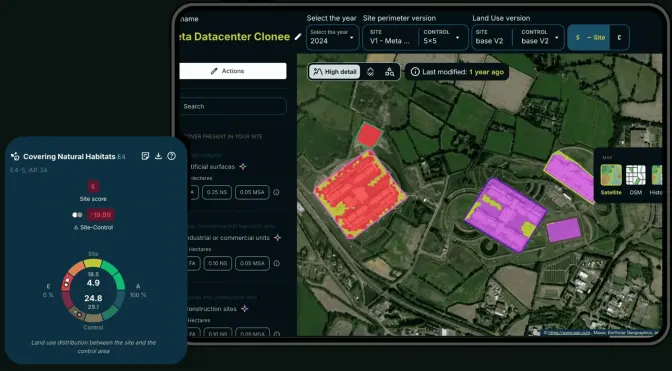
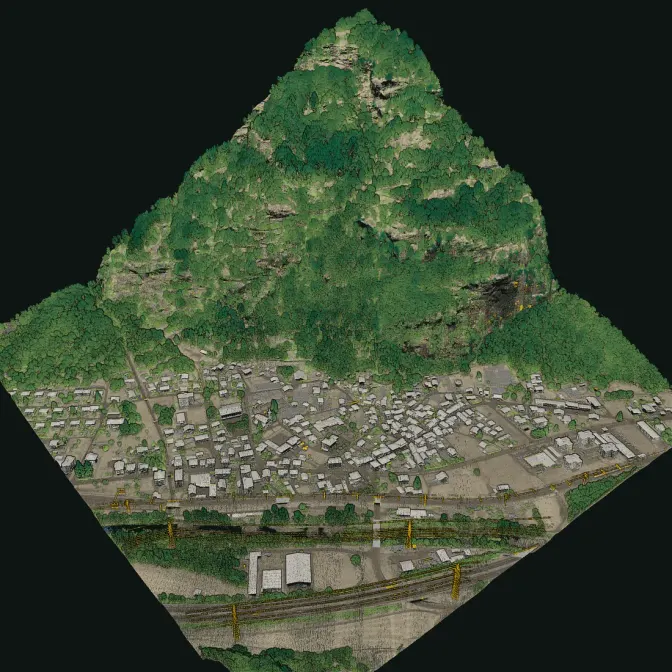
Route and estimated depth of the utilities, numbered magnetic anomalies, on top of the LiDAR 3D model.
Sources: D.Lgs 81/2008, art. 28 (Italian) · D.Lgs 81/2008, art. 91 (Italian) · D.Lgs 81/2008, art. 104 (Italian) · D.Lgs 33/2016, art. 4: the SINFI (Italian)
The data
What it finds below ground
Two instruments, two questions: where the networks run, where there are ferrous masses.
What we deliver
- Map of the buried utilities the GPR finds: cable ducts, cables, pipes, with route and estimated depth
- Voids, cavities, old foundations and buried tanks
- Map of the magnetic anomalies, numbered and georeferenced, for the ordnance risk assessment
- Both maps on top of the site's LiDAR point cloud, in GIS and CAD formats
Limits
- How deep the GPR reaches depends on the soil: in clay and wet ground the signal stops early
- A magnetic anomaly is not a bomb: it is a point to check. Pipes, scrap and fences give anomalies too
- Depths are estimates: before digging close to a utility, a hand-dug trial pit is needed
Stays with the coordinator and the client
- The ordnance risk assessment, signed by the design coordinator
- Preventive clearance, by a firm registered with the Ministry of Defence
- The confirmation of the network operators before digging
Then
The same model, above and below
With the LiDAR survey of the same site, the underground reads together with buildings, poles, pylons and trees: one digital twin, above and below ground.
FAQ
Questions on the underground
Do you clear unexploded ordnance?
No. We make the survey: the map of magnetic anomalies that the coordinator uses to assess the risk. Preventive clearance can only be done by a firm registered in the roll of the Ministry of Defence.
Does GPR see plastic pipes?
Often, when the pipe contrasts with the ground around it, for example because it is full of water or empty. Cables and metal pipes show better. In clay the signal stops at a shallow depth.
How deep do you reach?
It depends on the soil and on the object. GPR goes from a few decimetres to a few metres; the magnetometer sees large ferrous masses deeper than small ones. We say it site by site, after a test.
Have you already surveyed the underground with XN Twin?
XN Twin is new in 2026 and the first surveys are pilot projects: we show no case we have not done.
30 minutes with the team, on XN Twin.
Video call on Google Meet
Would you rather talk it through?
Either way you are speaking with an AI assistant, and the conversation is transcribed. How we handle your data